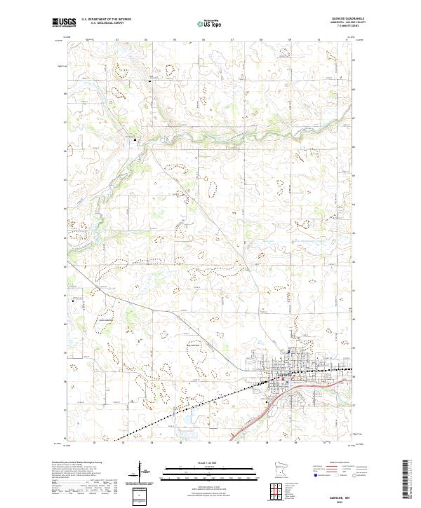
2022 Map of Glencoe
USGS Topo · Published 2022About this map
The McLeod County Courthouse serves as the civic anchor for Glencoe, a community defined by its proximity to the winding waters of Buffalo Cr and the S Fork Crow River. The surrounding landscape is a testament to the region's agricultural engineering, where legacy waterways like Bear Cr are augmented by extensive drainage systems including County Ditch Number Twenty-six and County Ditch Number Thirteen. These efforts to manage the prairie floor are evident in the presence of the Swan Lakebed and Bog Lakebed, indicating a landscape in transition from its original marshy state.
Find a feature on this map
89 named features on this map. Tap any name to fly to it.
Don’t see what you’re looking for? This feature index may not catch every label — zoom into the map to look around manually.
Map Details
Editions of this 2022 Glencoe Map
This is the sole edition of this map. No revisions or reprints were ever made.
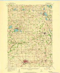
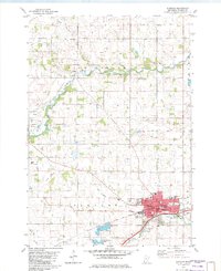
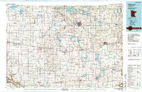
Historical Maps of Anderson Court Through Time
4 maps found