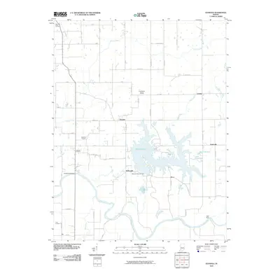
2010 Map of Glendale
USGS Topo · Published 2010About this map
Dogwood Lake dominates the central landscape of this southern Indiana region, created by the Glendale Reservoir Dam north of Hudsonville. The area's settlement history is preserved in its numerous rural burial grounds, including Saint Patricks Glencoe Cemetery and Ebenezer Cemetery, which sit alongside a grid of rural county roads. To the south, the East Fork White River carves a winding path through the terrain, passing landmarks such as High Rock and the Straight Road Bridge. Small crossroads communities like Glendale, Waco, and Corning are scattered across the quadrangle, connected by a network of creeks including Aikman Creek and Mud Creek. This map illustrates the intersection of mid-century water management projects with the older, established agricultural and cemetery sites that define Daviess County.
Find a feature on this map
57 named features on this map. Tap any name to fly to it.
Don’t see what you’re looking for? This feature index may not catch every label — zoom into the map to look around manually.
Map Details
Editions of this 2010 Glendale Map
This is the sole edition of this map. No revisions or reprints were ever made.
Other maps of this area

1902 · Ditney
USGS Topo · 1:125,000

1903 · Velpen
USGS Topo · 1:62,500

1944 · Montgomery
USGS Topo · 1:24,000

1944 · Glendale
USGS Topo · 1:24,000

1944 · Washington
USGS Topo · 1:24,000

1945 · Sandy Hook
USGS Topo · 1:24,000

1946 · Jasper
USGS Topo · 1:24,000

1956 · Alfordsville
USGS Topo · 1:24,000

1956 · Loogootee
USGS Topo · 1:24,000

1956 · Vincennes
USGS Topo · 1:250,000