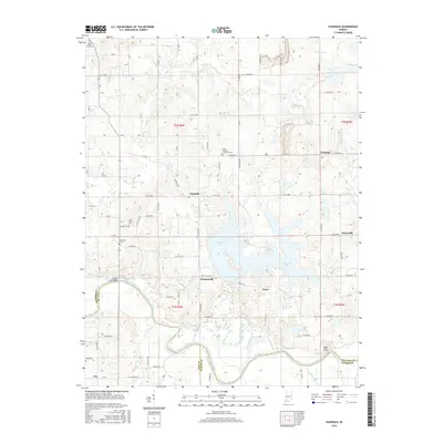
2016 Map of Glendale
USGS Topo · Published 2016About this map
Dogwood Lake dominates the central landscape of this southern Indiana survey, where the sprawling reservoir meets the rural crossroads of Glendale and Hudsonville. The area is defined by its complex hydrology, with the East Fork White River meandering through the southern section near the Straight Road Bridge and the high point of High Rock. For genealogists and local historians, the map is particularly rich in cemetery locations, documenting smaller, often family-centric burial grounds like Case Cem and Ebenezer Cem, alongside church-affiliated sites such as Saint Patricks Glencoe Cem. The terrain transitions from the inundated basin of the lake to the small outlying settlements of Pennyville, Waco, and Corning, illustrating the persistent agrarian and residential patterns of Daviess and Pike counties.
Find a feature on this map
57 named features on this map. Tap any name to fly to it.
Don’t see what you’re looking for? This feature index may not catch every label — zoom into the map to look around manually.
Map Details
Editions of this 2016 Glendale Map
This is the sole edition of this map. No revisions or reprints were ever made.
Other maps of this area

1902 · Ditney
USGS Topo · 1:125,000

1903 · Velpen
USGS Topo · 1:62,500

1944 · Montgomery
USGS Topo · 1:24,000

1944 · Glendale
USGS Topo · 1:24,000

1944 · Washington
USGS Topo · 1:24,000

1945 · Sandy Hook
USGS Topo · 1:24,000

1946 · Jasper
USGS Topo · 1:24,000

1956 · Alfordsville
USGS Topo · 1:24,000

1956 · Loogootee
USGS Topo · 1:24,000

1956 · Vincennes
USGS Topo · 1:250,000