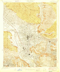
1928 Map of Glendale
USGS Topo · Published 1928About this map
Glendale and the surrounding neighborhoods of Eagle Rock and North Highland Park are shown here during a transformative era of suburban development in the late 1920s. The grid system of the city is already well-established, punctuated by significant cultural and social institutions such as Occidental College and the Southwest Museum. The influence of early Hollywood is visible at the Vitagraph Studio and the settlement of Mixville, reflecting the region's burgeoning film industry.
Find a feature on this map
43 named features on this map. Tap any name to fly to it.
Don’t see what you’re looking for? This feature index may not catch every label — zoom into the map to look around manually.
Map Details
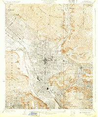
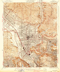
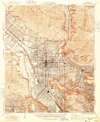
Editions of this 1928 Glendale Map
4 editions found
Other maps of this area

1894 · Los Angeles
USGS Topo · 1:62,500

1896 · Pasadena
USGS Topo · 1:62,500

1896 · Santa Monica
USGS Topo · 1:62,500

1898 · Santa Monica
USGS Topo · 1:62,500

1900 · Pasadena
USGS Topo · 1:62,500

1900 · Los Angeles
USGS Topo · 1:62,500

1901 · Southern California Sheet No. 1
USGS Topo · 1:250,000

1902 · Santa Monica
USGS Topo · 1:62,500

1904 · Southern California Sheet No. 1
USGS Topo · 1:250,000

1920 · Santa Monica
USGS Topo · 1:62,500