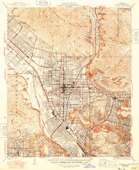
1928 Map of Glendale
USGS Topo · Published 1948About this map
Glendale and the surrounding Los Angeles basin appear here in a period of significant transition, caught between the established citrus-era rail lines and the early aviation age. The map illustrates a dense grid of streets emerging from the base of the Verdugo Mountains and San Rafael Hills, while the Los Angeles River remains a natural corridor alongside the Southern Pacific tracks. Transportation is a central theme, with the Pacific Electric railway providing vital transit through growing neighborhoods like Eagle Rock, Glassell Park, and Highland Park. Notable cultural and industrial landmarks are prominently featured, including the sprawling Forest Lawn Cemetery with its Mausoleum, the Vitagraph Studio in Hollywood, and early flight centers such as Grand Central Airport and the National Guard Airport. These details reveal a landscape shifting from its ranching roots to a modern metropolitan center.
Find a feature on this map
57 named features on this map. Tap any name to fly to it.
Don’t see what you’re looking for? This feature index may not catch every label — zoom into the map to look around manually.
Map Details
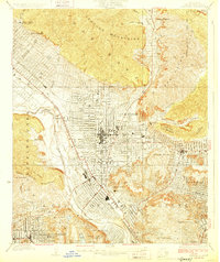
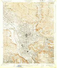
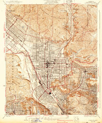
Editions of this 1928 Glendale Map
4 editions found
Other maps of this area

1894 · Los Angeles
USGS Topo · 1:62,500

1896 · Pasadena
USGS Topo · 1:62,500

1896 · Santa Monica
USGS Topo · 1:62,500

1898 · Santa Monica
USGS Topo · 1:62,500

1900 · Pasadena
USGS Topo · 1:62,500

1900 · Los Angeles
USGS Topo · 1:62,500

1901 · Southern California Sheet No. 1
USGS Topo · 1:250,000

1902 · Santa Monica
USGS Topo · 1:62,500

1904 · Southern California Sheet No. 1
USGS Topo · 1:250,000

1920 · Santa Monica
USGS Topo · 1:62,500