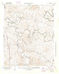
1947 Map of Glendale
USGS Topo · Published 1948About this map
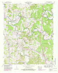
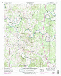
The winding Duck River carves a complex series of loops across this Maury County landscape, creating distinctive horseshoe bends like Sowell Bend, Vaughan Bend, and Rieves Bend. This 1947 survey by the Tennessee Valley Authority reveals a mid-century rural economy deeply tied to these waters, evidenced by the Sowell Mill Bridge and Sowell Mill. The Louisville and Nashville railroad runs north-south through the western portion, anchoring the communities of Glendale and Fountain Heights.
Find a feature on this map
85 named features on this map. Tap any name to fly to it.
Don’t see what you’re looking for? This feature index may not catch every label — zoom into the map to look around manually.
Map Details
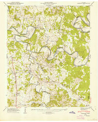
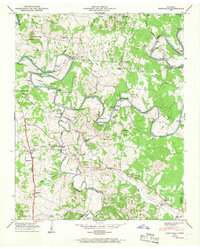
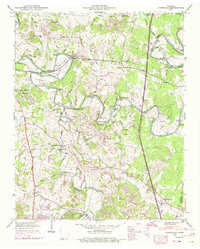
Editions of this 1947 Glendale Map
6 editions found
Other maps of this area

1901 · Colombia
USGS Topo · 1:125,000

1936 · Godwin
USGS Topo · 1:24,000

1936 · Lewisburg
USGS Topo · 1:24,000

1936 · Verona
USGS Topo · 1:24,000

1936 · Campbells Station
USGS Topo · 1:24,000

1936 · Rally Hill
USGS Topo · 1:24,000

1936 · Carters Creek
USGS Topo · 1:24,000

1936 · Glendale
USGS Topo · 1:24,000

1936 · Columbia
USGS Topo · 1:24,000

1936 · Lynnville
USGS Topo · 1:24,000