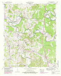
1947 Map of Glendale
USGS Topo · Published 1982About this map
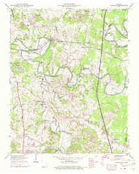
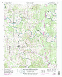
The Duck River carves a winding path across this Maury County landscape, defining life through its dramatic bends like Cannon Bend and Vaughan Bend. This mid-century survey, updated with 1980s aerial data, reveals a rural economy centered on the river and the Louisville and Nashville railroad. The presence of Sowell Mill and its associated Sowell Mill Bridge points to an era of local grain processing, while numerous family-named burial grounds like Tankersley Cem and Vaughan Cem speak to deep-rooted genealogical history.
Find a feature on this map
73 named features on this map. Tap any name to fly to it.
Don’t see what you’re looking for? This feature index may not catch every label — zoom into the map to look around manually.
Map Details
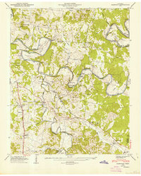
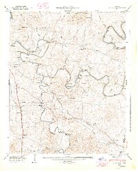
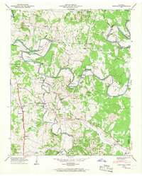
Editions of this 1947 Glendale Map
6 editions found
Other maps of this area

1901 · Colombia
USGS Topo · 1:125,000

1936 · Godwin
USGS Topo · 1:24,000

1936 · Lewisburg
USGS Topo · 1:24,000

1936 · Verona
USGS Topo · 1:24,000

1936 · Campbells Station
USGS Topo · 1:24,000

1936 · Rally Hill
USGS Topo · 1:24,000

1936 · Carters Creek
USGS Topo · 1:24,000

1936 · Glendale
USGS Topo · 1:24,000

1936 · Columbia
USGS Topo · 1:24,000

1936 · Lynnville
USGS Topo · 1:24,000