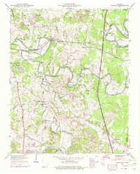
1947 Map of Glendale
USGS Topo · Published 1974About this map
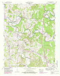
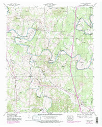
The Duck River winds through the heart of Maury County in a series of dramatic loops including Sowell Bend, Cannon Bend, and Whitworth Bend. This agrarian landscape of the mid-20th century is defined by its deep connection to the water, where the Sowell Mill and its associated Sowell Mill Pike once anchored the local economy. The terrain transitions from the heights of Hayes Hills down to fertile creek bottoms fed by Goose Creek and Fountain Creek.
Find a feature on this map
77 named features on this map. Tap any name to fly to it.
Don’t see what you’re looking for? This feature index may not catch every label — zoom into the map to look around manually.
Map Details
Editions of this 1947 Glendale Map
6 editions found
Other maps of this area

1901 · Colombia
USGS Topo · 1:125,000

1936 · Godwin
USGS Topo · 1:24,000

1936 · Lewisburg
USGS Topo · 1:24,000

1936 · Verona
USGS Topo · 1:24,000

1936 · Campbells Station
USGS Topo · 1:24,000

1936 · Rally Hill
USGS Topo · 1:24,000

1936 · Carters Creek
USGS Topo · 1:24,000

1936 · Glendale
USGS Topo · 1:24,000

1936 · Columbia
USGS Topo · 1:24,000

1936 · Lynnville
USGS Topo · 1:24,000