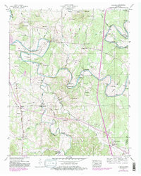
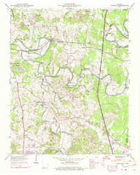
1947 Map of Glendale
USGS Topo · Published 1982About this map
The Duck River carves a winding path through this central Tennessee landscape, defining the character of the terrain with its dramatic loops at Cannon Bend, Vaughan Bend, and Sowell Bend. This 1947 survey captures a rural network of small communities and family landmarks just before modern transitions, where the Louisville and Nashville railroad serves the settlement at Glendale. The map is particularly rich for genealogical research, documenting numerous family cemeteries such as Tankersley Cem, Hardison Cem, and Watson Cem that dot the ridges and valleys.
Find a feature on this map
75 named features on this map. Tap any name to fly to it.
Don’t see what you’re looking for? This feature index may not catch every label — zoom into the map to look around manually.
Map Details
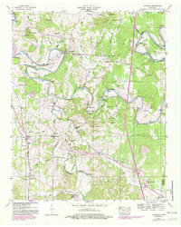
Editions of this 1947 Glendale Map
6 editions found
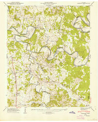
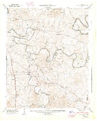
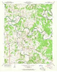
Other maps of this area

1901 · Colombia
USGS Topo · 1:125,000

1936 · Godwin
USGS Topo · 1:24,000

1936 · Lewisburg
USGS Topo · 1:24,000

1936 · Verona
USGS Topo · 1:24,000

1936 · Campbells Station
USGS Topo · 1:24,000

1936 · Rally Hill
USGS Topo · 1:24,000

1936 · Carters Creek
USGS Topo · 1:24,000

1936 · Glendale
USGS Topo · 1:24,000

1936 · Columbia
USGS Topo · 1:24,000

1936 · Lynnville
USGS Topo · 1:24,000