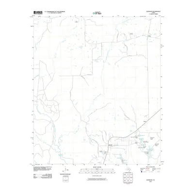
2010 Map of Glendale
USGS Topo · Published 2010About this map
White Rock Creek and Cedar Creek wind through the Piney Woods landscape of Trinity County, defining the drainage patterns of this rural Texas quadrangle. The settlement of Glendale serves as a central point, surrounded by a network of local roads such as Zion Hill Cemetery Rd and Ghost Branch Rd. A series of managed water bodies, including Saron Lake Number 4 and Lake Dawson, concentrate near the southeastern corner, reflecting the area's developed hydraulic landscape.
Find a feature on this map
46 named features on this map. Tap any name to fly to it.
Don’t see what you’re looking for? This feature index may not catch every label — zoom into the map to look around manually.
Map Details
Editions of this 2010 Glendale Map
This is the sole edition of this map. No revisions or reprints were ever made.
Other maps of this area

1953 · Palestine
USGS Topo · 1:250,000

1954 · Beaumont
USGS Topo · 1:250,000

1957 · Beaumont
USGS Topo · 1:250,000

1957 · Palestine
USGS Topo · 1:250,000

1960 · Trinity West
USGS Topo · 1:24,000

1960 · Trinity East
USGS Topo · 1:24,000

1962 · Lovelady South
USGS Topo · 1:24,000

1962 · Glendale
USGS Topo · 1:24,000

1963 · Lovelady North
USGS Topo · 1:24,000

1963 · Groveton West
USGS Topo · 1:24,000