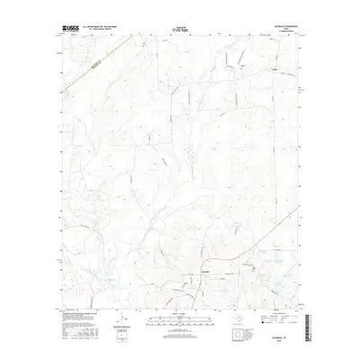
2016 Map of Glendale
USGS Topo · Published 2016About this map
The northern reaches of Lake Livingston define the southwestern corner of this East Texas survey, where the waters of White Rock Creek and Tantabogue Creek meet the reservoir. This area is characterized by its transition from wooded creek bottoms to established rural homesteads and family burial grounds. For those researching local history, several significant sites are preserved, including Holly Cem in the north and the cluster of Anderson Cem, Glendale Cem, and Saron Cem concentrated further south near the settlement of Friday. A complex system of named water bodies, such as Adams Lake, Lake Dawson, and the sequenced Saron Lake Number 4 through Saron Lake Number 7, points to a landscape heavily managed for timber or private recreation along the Trinity and Houston county line.
Find a feature on this map
57 named features on this map. Tap any name to fly to it.
Don’t see what you’re looking for? This feature index may not catch every label — zoom into the map to look around manually.
Map Details
Editions of this 2016 Glendale Map
This is the sole edition of this map. No revisions or reprints were ever made.
Other maps of this area

1953 · Palestine
USGS Topo · 1:250,000

1954 · Beaumont
USGS Topo · 1:250,000

1957 · Beaumont
USGS Topo · 1:250,000

1957 · Palestine
USGS Topo · 1:250,000
1960 · Trinity West
USGS Topo · 1:24,000
1960 · Trinity East
USGS Topo · 1:24,000
1962 · Lovelady South
USGS Topo · 1:24,000
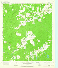
1962 · Glendale
USGS Topo · 1:24,000
1963 · Lovelady North
USGS Topo · 1:24,000
1963 · Groveton West
USGS Topo · 1:24,000