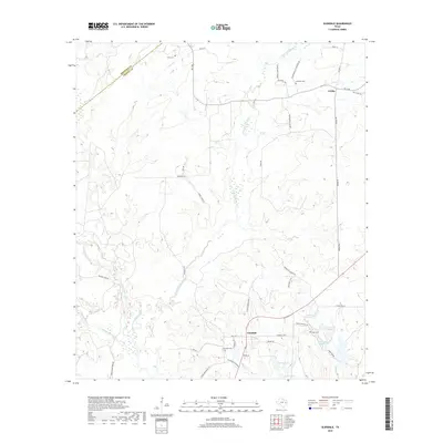
2019 Map of Glendale
USGS Topo · Published 2019About this map
Glendale serves as the central hub of this East Texas landscape, where the Houston Co and Trinity Co line cuts through the northern timberlands. The settlement pattern is defined by rural crossroads and family-named routes such as Henry Hager Rd and Linnie Parrish Rd, reflecting a deep history of local landownership. The area is heavily intersected by a complex drainage system, most notably White Rock Creek and its various tributaries, including Little White Rock Creek and the southern Tontabogue Creek.
Find a feature on this map
50 named features on this map. Tap any name to fly to it.
Don’t see what you’re looking for? This feature index may not catch every label — zoom into the map to look around manually.
Map Details
Editions of this 2019 Glendale Map
This is the sole edition of this map. No revisions or reprints were ever made.
Other maps of this area

1953 · Palestine
USGS Topo · 1:250,000

1954 · Beaumont
USGS Topo · 1:250,000

1957 · Beaumont
USGS Topo · 1:250,000

1957 · Palestine
USGS Topo · 1:250,000
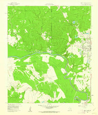
1960 · Trinity West
USGS Topo · 1:24,000
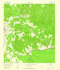
1960 · Trinity East
USGS Topo · 1:24,000
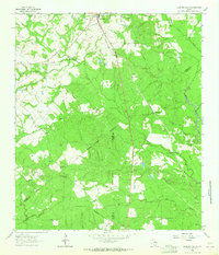
1962 · Lovelady South
USGS Topo · 1:24,000
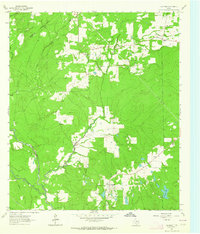
1962 · Glendale
USGS Topo · 1:24,000
1963 · Lovelady North
USGS Topo · 1:24,000
1963 · Groveton West
USGS Topo · 1:24,000