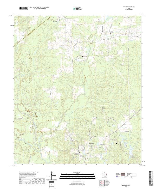
2022 Map of Glendale
USGS Topo · Published 2022About this map
Glendale and the surrounding piney woods of East Texas are defined by a complex network of creeks and small family-held landmarks. This modern survey illustrates a landscape where the Houston and Trinity County line crosses through timbered bottomlands and rolling divides between White Rock Creek and Cedar Creek. The settlement pattern remains deeply rooted in local history, as evidenced by the high density of rural burial grounds such as Zion Hill Cem, Thornton Church Cem, and the Anderson-Ellis Cem. Near the southern edge of the quadrangle, the series of reservoirs known as Saron Lake Number 4, Saron Lake Number 3, and Saron Lake Number 2 suggest the legacy of local industry or land management near the older community of Glendale. These features, along with names like Lake Dawson, provide a detailed record of contemporary land use in a region where small unincorporated communities like Friday still anchor the rural road network.
Find a feature on this map
61 named features on this map. Tap any name to fly to it.
Don’t see what you’re looking for? This feature index may not catch every label — zoom into the map to look around manually.
Map Details
Editions of this 2022 Glendale Map
This is the sole edition of this map. No revisions or reprints were ever made.
Other maps of this area

1953 · Palestine
USGS Topo · 1:250,000

1954 · Beaumont
USGS Topo · 1:250,000

1957 · Beaumont
USGS Topo · 1:250,000

1957 · Palestine
USGS Topo · 1:250,000

1960 · Trinity West
USGS Topo · 1:24,000

1960 · Trinity East
USGS Topo · 1:24,000

1962 · Lovelady South
USGS Topo · 1:24,000

1962 · Glendale
USGS Topo · 1:24,000

1963 · Lovelady North
USGS Topo · 1:24,000

1963 · Groveton West
USGS Topo · 1:24,000