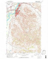
1967 Map of Glendive
USGS Topo · Published 1970About this map
The Yellowstone River anchors this 1967 survey of Glendive, showing the city's development as a major transit hub along the Northern Pacific railroad. The map illustrates a thriving community centered around the Courthouse, with residential expansion marked by Lincoln Sch, Jefferson Sch, and the Dawson Co Jr College. East of the river, the landscape transitions into the distinctive Badlands topography, where numerous Radio Tower sites, including Radio Tower (KXGN-TV), occupy the high ground.
Find a feature on this map
38 named features on this map. Tap any name to fly to it.
Don’t see what you’re looking for? This feature index may not catch every label — zoom into the map to look around manually.
Map Details
Editions of this 1967 Glendive Map
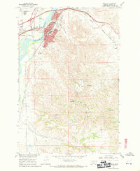
2 editions found
Other maps of this area

1909 · Glendive
USGS Topo · 1:250,000

1953 · Miles City
USGS Topo · 1:250,000

1954 · Glendive
USGS Topo · 1:250,000

1957 · Miles City
USGS Topo · 1:250,000

1957 · Glendive
USGS Topo · 1:250,000

1958 · Miles City
USGS Topo · 1:250,000

1958 · Glendive
USGS Topo · 1:250,000

1967 · Stipek
USGS Topo · 1:24,000

1967 · Allard
USGS Topo · 1:24,000

1967 · Belle Prairie
USGS Topo · 1:24,000
Featured Places
- Glendive, MT
- Spring Grove Trailer Court, MT
- Curry, MT
- Highland Mobile Home Park, MT
- Casitas Del Rio, Glendive