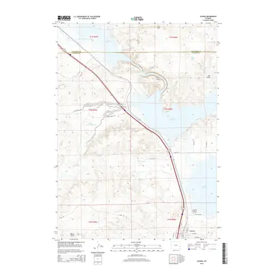
2015 Map of Glendo
USGS Topo · Published 2015About this map
Glendo sits at the southern end of the extensive Glendo Reservoir shoreline, serving as a hub for the surrounding Platte and Converse County borderlands. The landscape is defined by the winding waters of the reservoir, which fills deep incisions in the earth like River Canyon and Red Canyon. This 2015 data illustrates the careful management of water in the high plains, showing complex irrigation and storage features such as Platte Valley Ditch Number 1 and Black Reservoir Number 2. On the outskirts of the town, the Thomas Memorial Airport provides an essential link to this relatively open terrain of the Grey Hills and various springs. The map documents the modern road network, including N Elkhorn Creek Rd and Lake Shore Dr, providing a precise look at the township and range divisions near the county line.
Find a feature on this map
36 named features on this map. Tap any name to fly to it.
Don’t see what you’re looking for? This feature index may not catch every label — zoom into the map to look around manually.
Map Details
Editions of this 2015 Glendo Map
This is the sole edition of this map. No revisions or reprints were ever made.
Other maps of this area
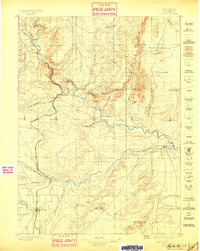
1896 · Hartville
USGS Topo · 1:125,000
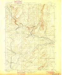
1901 · Hartville
USGS Topo · 1:125,000
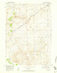
1949 · Shawnee
USGS Topo · 1:24,000
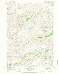
1949 · Cedar Hill
USGS Topo · 1:24,000
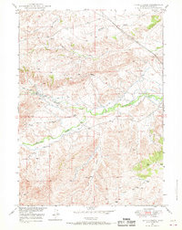
1949 · Spring Creek
USGS Topo · 1:24,000
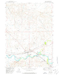
1949 · Orin
USGS Topo · 1:24,000
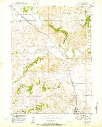
1950 · Glendo
USGS Topo · 1:24,000
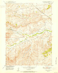
1950 · Spring Creek
USGS Topo · 1:24,000
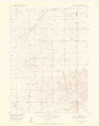
1950 · Amend Ranch
USGS Topo · 1:24,000
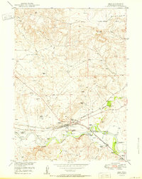
1950 · Orin
USGS Topo · 1:24,000