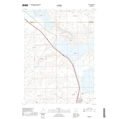
2018 Map of Glendo
USGS Topo · Published 2018About this map
Glendo serves as the focal point of this Platte County landscape, situated just south of the expansive Glendo Reservoir. The town's grid is clearly defined by streets such as Lincoln Ave and Paige Ave, while the Thomas Memorial Airport provides an essential aviation link to the east. The geography is marked by significant hydrological features and varied terrain, including the Platte Valley Ditch Number 1 in the north and the spring-fed waters of Upper State Spring and Lower State Spring.
Find a feature on this map
32 named features on this map. Tap any name to fly to it.
Don’t see what you’re looking for? This feature index may not catch every label — zoom into the map to look around manually.
Map Details
Editions of this 2018 Glendo Map
This is the sole edition of this map. No revisions or reprints were ever made.
Other maps of this area

1896 · Hartville
USGS Topo · 1:125,000

1901 · Hartville
USGS Topo · 1:125,000

1949 · Shawnee
USGS Topo · 1:24,000

1949 · Cedar Hill
USGS Topo · 1:24,000

1949 · Spring Creek
USGS Topo · 1:24,000

1949 · Orin
USGS Topo · 1:24,000

1950 · Glendo
USGS Topo · 1:24,000

1950 · Spring Creek
USGS Topo · 1:24,000

1950 · Amend Ranch
USGS Topo · 1:24,000

1950 · Orin
USGS Topo · 1:24,000