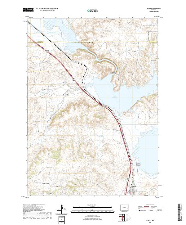
2021 Map of Glendo
USGS Topo · Published 2021About this map
The town of Glendo serves as the focal point of this Platte County landscape, situated near the southeastern shores of the expansive Glendo Reservoir. The map reveals a complex water management system vital to this arid region, featuring the Platte Valley Ditch Number 1 in the north and several smaller water sources like Buffalo Springs, Upper State Spring, and Buck Reservoir. These features reflect the area's transition from traditional ranching and irrigation to modern recreational and aviation infrastructure, anchored by the Thomas Memorial Airport.
Find a feature on this map
35 named features on this map. Tap any name to fly to it.
Don’t see what you’re looking for? This feature index may not catch every label — zoom into the map to look around manually.
Map Details
Editions of this 2021 Glendo Map
This is the sole edition of this map. No revisions or reprints were ever made.
Other maps of this area

1896 · Hartville
USGS Topo · 1:125,000

1901 · Hartville
USGS Topo · 1:125,000

1949 · Shawnee
USGS Topo · 1:24,000

1949 · Cedar Hill
USGS Topo · 1:24,000

1949 · Spring Creek
USGS Topo · 1:24,000

1949 · Orin
USGS Topo · 1:24,000

1950 · Glendo
USGS Topo · 1:24,000

1950 · Spring Creek
USGS Topo · 1:24,000

1950 · Amend Ranch
USGS Topo · 1:24,000

1950 · Orin
USGS Topo · 1:24,000