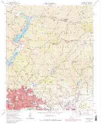
1966 Map of Glendora
USGS Topo · Published 1975About this map
Glendora and the northern reaches of La Verne sit at the base of the San Gabriel Mountains, where residential expansion meets the steep drainage basins of the Angeles National Forest. The landscape is defined by massive water management projects, including the San Gabriel Reservoir and Morris Reservoir, the latter of which features a US Naval Ordnance Testing Station. Further south, the map reveals a dense network of civic infrastructure in San Dimas and the San Jose Addition, where dozens of local schools such as Sellers Sch and Goddard Jr High Sch serve the growing post-war community.
Find a feature on this map
106 named features on this map. Tap any name to fly to it.
Don’t see what you’re looking for? This feature index may not catch every label — zoom into the map to look around manually.
Map Details
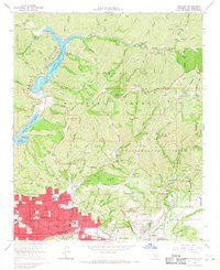
Editions of this 1966 Glendora Map
2 editions found
Other maps of this area

1894 · Pomona
USGS Topo · 1:62,500

1897 · Pomona
USGS Topo · 1:62,500

1897 · Cucamonga
USGS Topo · 1:62,500

1898 · Pomona
USGS Topo · 1:62,500

1900 · Cucamonga
USGS Topo · 1:62,500

1901 · Southern California Sheet No. 1
USGS Topo · 1:250,000

1903 · Rock Creek
USGS Topo · 1:62,500

1903 · Cucamonga
USGS Topo · 1:62,500

1903 · San Antonio
USGS Topo · 1:62,500

1904 · Pomona
USGS Topo · 1:62,500