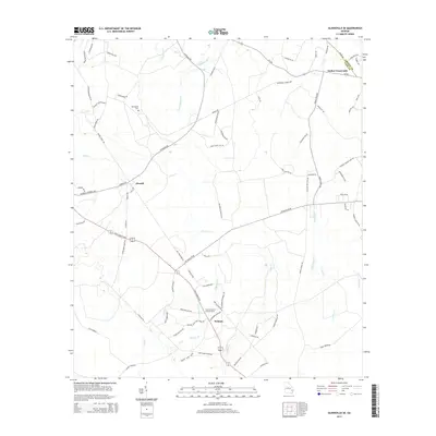
2014 Map of Glennville SE
USGS Topo · Published 2014About this map
Smiley Crossroads and Donald anchor this landscape in Long and Liberty Counties, where rural life is defined by a dense network of blackwater creeks and branches. The terrain is deeply inscribed with family and local history through features like the Macedonia Cem and the Fletcher Branch Lookout Tower. The drainage pattern is complex, with numerous small waterways including Taylors Cr, Old Millhead Br, and Jones Cr winding through the coastal plain.
Find a feature on this map
82 named features on this map. Tap any name to fly to it.
Don’t see what you’re looking for? This feature index may not catch every label — zoom into the map to look around manually.
Map Details
Editions of this 2014 Glennville SE Map
This is the sole edition of this map. No revisions or reprints were ever made.
Other maps of this area

1918 · Jesup
USGS Topo · 1:62,500

1918 · Hinesville
USGS Topo · 1:62,500

1920 · Glennville
USGS Topo · 1:62,500

1943 · Ludowici
USGS Topo · 1:62,500

1943 · Jesup
USGS Topo · 1:62,500

1944 · Glennville
USGS Topo · 1:62,500

1944 · Hinesville
USGS Topo · 1:62,500

1946 · Brunswick
USGS Topo · 1:250,000

1948 · Brunswick
USGS Topo · 1:250,000

1950 · Glennville
USGS Topo · 1:62,500