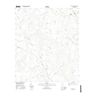
2017 Map of Glennville SE
USGS Topo · Published 2017About this map
Macedonia Cem stands as a focal point for family history in this corner of Georgia, surrounded by a complex network of named creeks and rural homesteads. The landscape is defined by the wetlands of Vinzant Swamp and the meandering paths of Jones Creek, which flows through the heart of the region near the settlement of Donald. A dense grid of country roads, many bearing family names like Tommy Hines Rd and Lamar Berry Rd, illustrates the persistent pattern of rural land ownership and local travel routes. The map provides a look at the boundary between Liberty Co and Long Co, where Smiley Crossroads serves as a small junction of local life. The drainage patterns of numerous branches, including Still Br and Doc Hughes Br, suggest a low-lying terrain shaped by slow-moving waters and seasonal wetlands.
Find a feature on this map
76 named features on this map. Tap any name to fly to it.
Don’t see what you’re looking for? This feature index may not catch every label — zoom into the map to look around manually.
Map Details
Editions of this 2017 Glennville SE Map
This is the sole edition of this map. No revisions or reprints were ever made.
Other maps of this area

1918 · Jesup
USGS Topo · 1:62,500

1918 · Hinesville
USGS Topo · 1:62,500

1920 · Glennville
USGS Topo · 1:62,500

1943 · Ludowici
USGS Topo · 1:62,500

1943 · Jesup
USGS Topo · 1:62,500

1944 · Glennville
USGS Topo · 1:62,500

1944 · Hinesville
USGS Topo · 1:62,500

1946 · Brunswick
USGS Topo · 1:250,000

1948 · Brunswick
USGS Topo · 1:250,000

1950 · Glennville
USGS Topo · 1:62,500