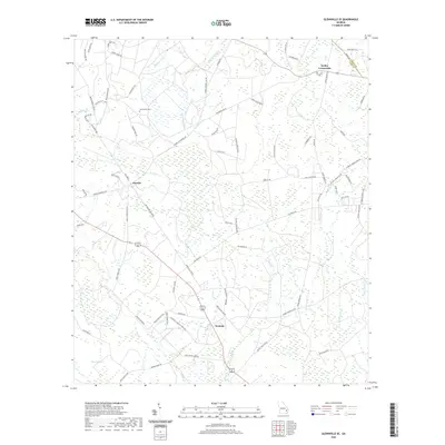
2020 Map of Glennville SE
USGS Topo · Published 2020About this map
Smiley Crossroads and Donald anchor this corner of southeast Georgia, where the border of Liberty Co and Long Co cuts through a landscape defined by an intricate network of wetlands and creek branches. The area is heavily marked by family names on rural roads and landmarks, such as Macedonia Cem and the small settlement of Wefanie. Significant water features like Taylors Cr and the vast Vinzant Swamp dictate the local geography, with numerous small tributaries including Old Millhead Br and Fletcher Br threading between timberlands and homesteads. This modern survey captures the persistence of these rural communities, showing the way arterial routes like George D Swindell Rd connect isolated dwellings to larger crossroads while preserving the historical footprints of the region's early families.
Find a feature on this map
80 named features on this map. Tap any name to fly to it.
Don’t see what you’re looking for? This feature index may not catch every label — zoom into the map to look around manually.
Map Details
Editions of this 2020 Glennville SE Map
This is the sole edition of this map. No revisions or reprints were ever made.
Other maps of this area

1918 · Jesup
USGS Topo · 1:62,500

1918 · Hinesville
USGS Topo · 1:62,500

1920 · Glennville
USGS Topo · 1:62,500

1943 · Ludowici
USGS Topo · 1:62,500

1943 · Jesup
USGS Topo · 1:62,500

1944 · Glennville
USGS Topo · 1:62,500

1944 · Hinesville
USGS Topo · 1:62,500

1946 · Brunswick
USGS Topo · 1:250,000

1948 · Brunswick
USGS Topo · 1:250,000

1950 · Glennville
USGS Topo · 1:62,500