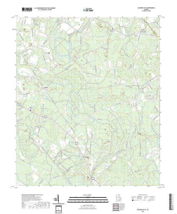
2024 Map of Glennville SE
USGS Topo · Published 2024About this map
Jones Creek and its many tributaries, including Taylors Creek and the Little Jones Creek, dominate this rural landscape in southeastern Georgia. The area is defined by a dense network of country roads named for local families, such as Smith Berry Rd, Tommy Hines Rd, and George D Swindell Rd, suggesting a landscape shaped by generations of lineage and land ownership. Small settlements like Donald, Wefanie, and Smiley Crossroads serve as local hubs in a region otherwise characterized by timberland and wetlands like Vinzant Swamp.
Find a feature on this map
88 named features on this map. Tap any name to fly to it.
Don’t see what you’re looking for? This feature index may not catch every label — zoom into the map to look around manually.
Map Details
Editions of this 2024 Glennville SE Map
This is the sole edition of this map. No revisions or reprints were ever made.
Other maps of this area

1918 · Jesup
USGS Topo · 1:62,500

1918 · Hinesville
USGS Topo · 1:62,500

1920 · Glennville
USGS Topo · 1:62,500

1943 · Ludowici
USGS Topo · 1:62,500

1943 · Jesup
USGS Topo · 1:62,500

1944 · Glennville
USGS Topo · 1:62,500

1944 · Hinesville
USGS Topo · 1:62,500

1946 · Brunswick
USGS Topo · 1:250,000

1948 · Brunswick
USGS Topo · 1:250,000

1950 · Glennville
USGS Topo · 1:62,500