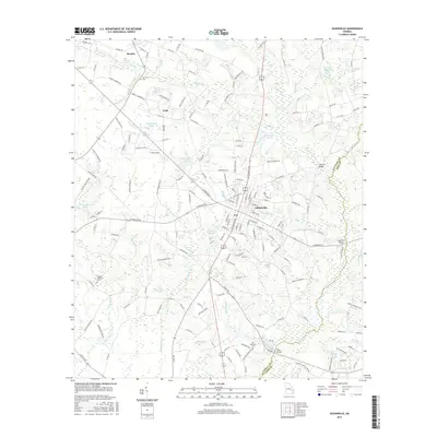
2017 Map of Glennville
USGS Topo · Published 2017About this map
Glennville sits at the heart of this Tattnall County landscape, serving as a hub for the surrounding rural communities of Mendes and Lynn. The geography is defined by a dense network of water bodies and millponds, including Edwards Millpond, Brewton Millpond, and Bacon Pond, which suggest a long-standing reliance on local water resources for industry and agriculture. Notable family and historical sites are scattered throughout the quadrangle, such as Surrency Cem, Old Halltown Cem, and Bradley-Anderson Cem, providing essential touchstones for genealogical research in the region. The map also records several river crossings that link the rural road network, including Flat-Ford Bridge and Halls Bridge along the boundary with Long County. The southern portion of the sheet features distinctive terrain like Delbos Bay and the winding course of Watermelon Cr, illustrating the lowland drainage patterns characteristic of the Georgia coastal plain.
Find a feature on this map
162 named features on this map. Tap any name to fly to it.
Don’t see what you’re looking for? This feature index may not catch every label — zoom into the map to look around manually.
Map Details
Editions of this 2017 Glennville Map
This is the sole edition of this map. No revisions or reprints were ever made.
Other maps of this area

1919 · Claxton
USGS Topo · 1:62,500

1920 · Glennville
USGS Topo · 1:62,500

1944 · Claxton
USGS Topo · 1:62,500

1944 · Glennville
USGS Topo · 1:62,500

1946 · Brunswick
USGS Topo · 1:250,000

1947 · Savannah
USGS Topo · 1:250,000

1948 · Brunswick
USGS Topo · 1:250,000

1948 · Savannah
USGS Topo · 1:250,000

1950 · Glennville
USGS Topo · 1:62,500

1950 · Claxton
USGS Topo · 1:62,500