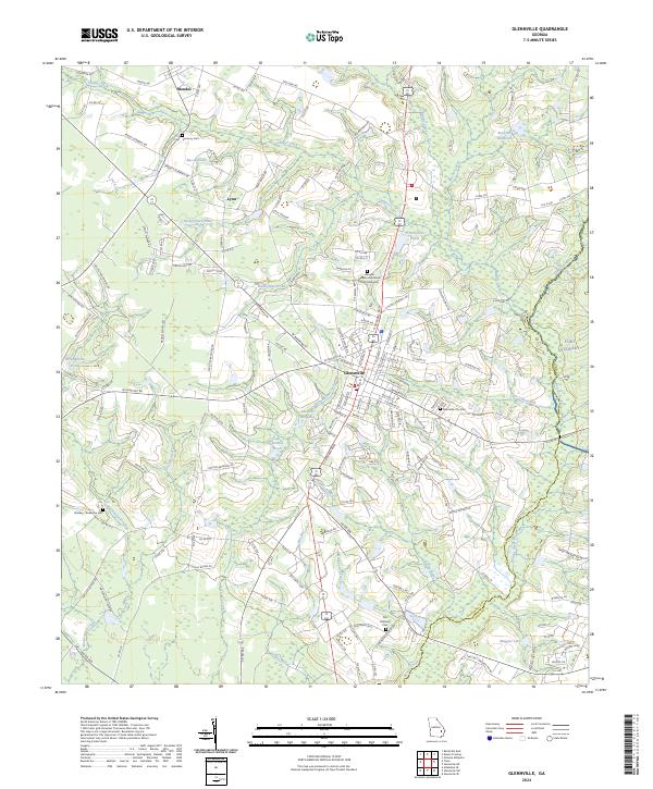
2024 Map of Glennville
USGS Topo · Published 2024About this map
Glennville serves as the central hub of this Georgia landscape, situated where several local routes converge in a region defined by agricultural heritage and numerous water bodies. The settlement pattern radiates outward to the smaller communities of Mendes to the northwest and Lynn further west, connected by roads named for prominent local families. Significant memorial sites are distributed throughout the area, including the Georgia Veterans Memorial Cem Glennville and the Glennville City Cem, while the eastern boundary is shaped by the expansive Fort Stewart military reservation. The geography is intricately tied to its waterways, with Beards Creek and Watermelon Creek draining the land alongside numerous local basins such as Edwards Millpond and Kicklighters Pond. The dense network of rural roads like Ernest Dubberly Rd and Ted Kicklighter Rd reflects a long-standing family-based land tenure system typical of this part of Tattnall County.
Find a feature on this map
168 named features on this map. Tap any name to fly to it.
Don’t see what you’re looking for? This feature index may not catch every label — zoom into the map to look around manually.
Map Details
Editions of this 2024 Glennville Map
This is the sole edition of this map. No revisions or reprints were ever made.
Other maps of this area

1919 · Claxton
USGS Topo · 1:62,500

1920 · Glennville
USGS Topo · 1:62,500

1944 · Claxton
USGS Topo · 1:62,500

1944 · Glennville
USGS Topo · 1:62,500

1946 · Brunswick
USGS Topo · 1:250,000

1947 · Savannah
USGS Topo · 1:250,000

1948 · Brunswick
USGS Topo · 1:250,000

1948 · Savannah
USGS Topo · 1:250,000

1950 · Glennville
USGS Topo · 1:62,500

1950 · Claxton
USGS Topo · 1:62,500