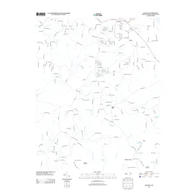
2013 Map of Glenola
USGS Topo · Published 2013About this map
Glenola and the surrounding Randolph County countryside are defined by a network of creeks and small private lakes feeding into the Uwharrie River system. The landscape transition from the residential corridors along US Highway 311 near Edgar to the more wooded, elevated terrain of Shepherd Mountain and Caraway Mountain to the south. This area is notable for its concentration of recreational and religious retreats, including Camp Keyauwee, the Wesleyan Youth Camp, and Camp Mundo Vista near the southern border. The settlement pattern remains largely rural, anchored by local institutions like Mount Olive Church and Mountain View Church. Numerous small water bodies, such as J B White Lake and the Caraway Lake Number One chain, highlight the localized water management typical of North Carolina's Piedmont region in the early 21st century.
Find a feature on this map
211 named features on this map. Tap any name to fly to it.
Don’t see what you’re looking for? This feature index may not catch every label — zoom into the map to look around manually.
Map Details
Editions of this 2013 Glenola Map
This is the sole edition of this map. No revisions or reprints were ever made.
Other maps of this area

1949 · High Point West
USGS Topo · 1:24,000

1950 · High Point East
USGS Topo · 1:24,000

1951 · High Point East
USGS Topo · 1:24,000

1951 · Fair Grove
USGS Topo · 1:24,000

1953 · Raleigh
USGS Topo · 1:250,000

1953 · Charlotte
USGS Topo · 1:250,000

1954 · Charlotte
USGS Topo · 1:250,000

1954 · Raleigh
USGS Topo · 1:250,000

1957 · Denton
USGS Topo · 1:62,500

1957 · Asheboro
USGS Topo · 1:62,500