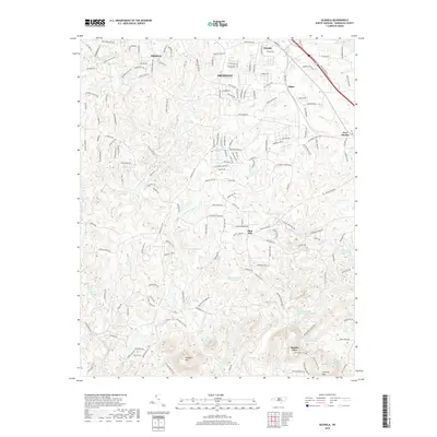
2019 Map of Glenola
USGS Topo · Published 2019About this map
Archdale and Trinity anchor the northern reaches of this Randolph County landscape, where suburban expansion meets the headwaters of the Uwharrie River. The terrain transitions from the developed corridors of Glenola and Edgar into a more complex topographical region defined by the prominent heights of Shepherd Mtn and Caraway Mtn. This area is notable for its dense network of small lakes and reservoirs, including J B White Lake, Beard Lake, and the numbered basins of Caraway Lake Number One and Caraway Lake Number Two. These water bodies, often associated with community camps like Mundo Vista and the Wesleyan Youth Camp Lake, reflect a land use pattern focused on both local agriculture and regional recreation. Historic centers such as Flint Hill and New Market remain visible alongside rural landmarks like Mt Gilead Church and Mt Olive Church.
Find a feature on this map
167 named features on this map. Tap any name to fly to it.
Don’t see what you’re looking for? This feature index may not catch every label — zoom into the map to look around manually.
Map Details
Editions of this 2019 Glenola Map
This is the sole edition of this map. No revisions or reprints were ever made.
Other maps of this area

1949 · High Point West
USGS Topo · 1:24,000

1950 · High Point East
USGS Topo · 1:24,000

1951 · High Point East
USGS Topo · 1:24,000

1951 · Fair Grove
USGS Topo · 1:24,000

1953 · Raleigh
USGS Topo · 1:250,000

1953 · Charlotte
USGS Topo · 1:250,000

1954 · Charlotte
USGS Topo · 1:250,000

1954 · Raleigh
USGS Topo · 1:250,000

1957 · Denton
USGS Topo · 1:62,500

1957 · Asheboro
USGS Topo · 1:62,500