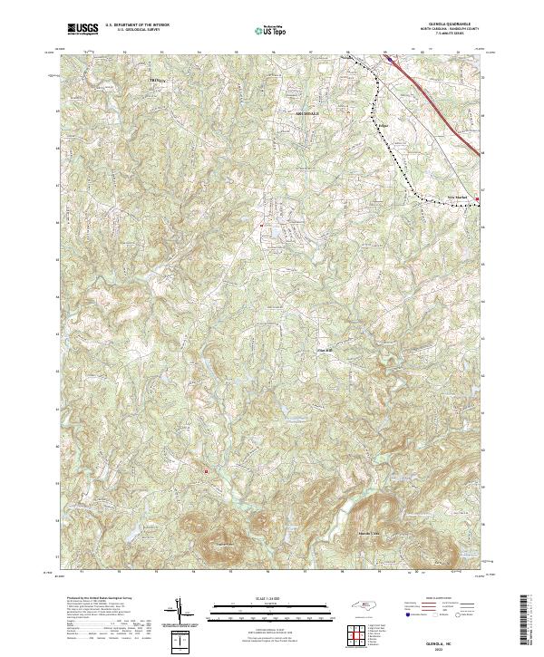
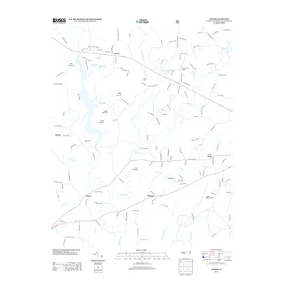
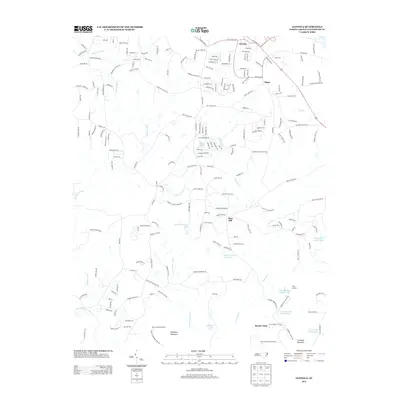
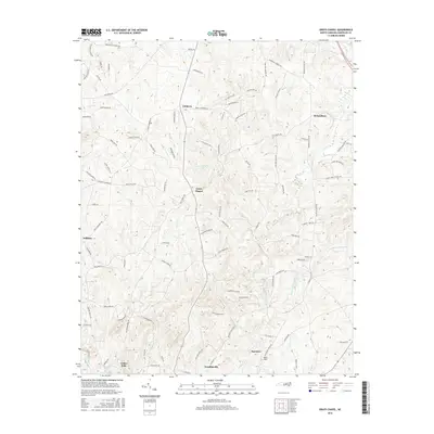
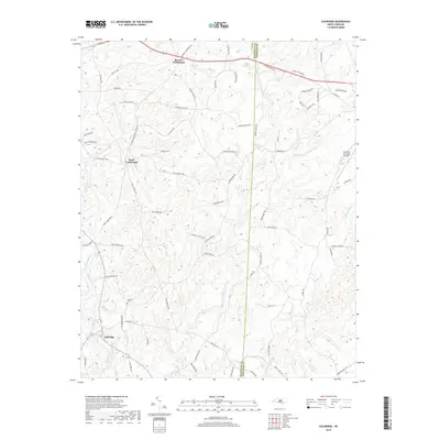
2022 Map of Glenola
USGS Topo · Published 2022About this map
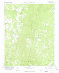
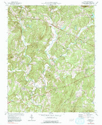
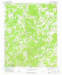
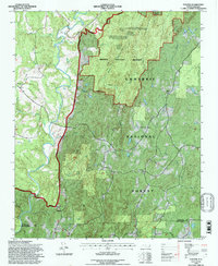
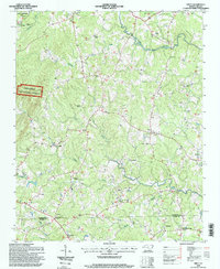
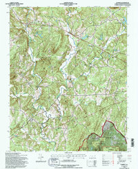
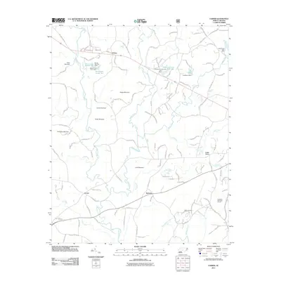
Trinity and Archdale anchor the northwestern corner of this landscape, where suburban expansion meets the rolling Piedmont terrain of Randolph County. The area is defined by the headwaters of the Uwharrie River and its tributary, the Little Uwharrie River, which wind through a network of family-named roads and established rural communities. Cultural landmarks like Hopewell Ch and Marlboro Ch indicate long-standing social centers that have persisted even as the region's transportation corridors have modernized.
Find a feature on this map
171 named features on this map. Tap any name to fly to it.
Don’t see what you’re looking for? This feature index may not catch every label — zoom into the map to look around manually.
Map Details
Editions of this 2022 Glenola Map
This is the sole edition of this map. No revisions or reprints were ever made.
Historical Maps of Archdale Through Time
39 maps found
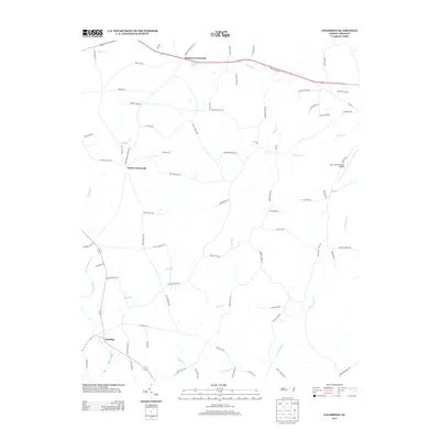
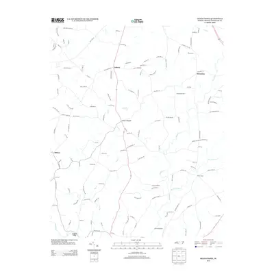
1968 Coleridge
Randolph County, NC
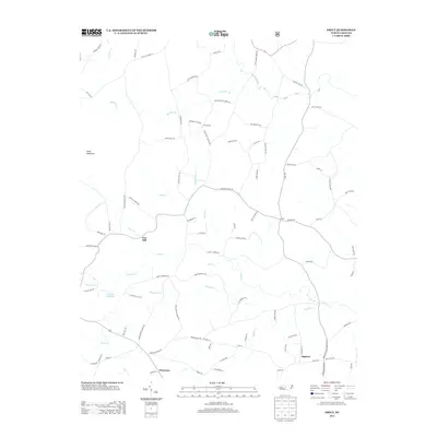
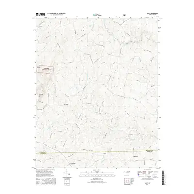
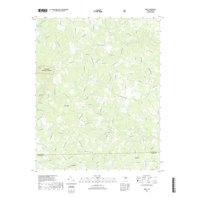
1968 Erect
Randolph County, NC
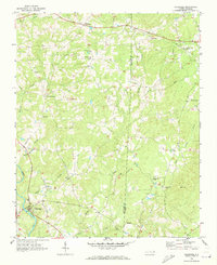
1970 Glenola
Randolph County, NC
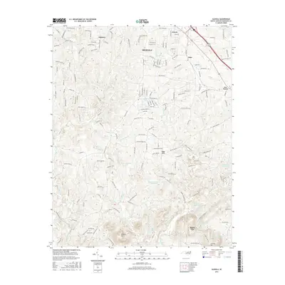
1973 Eleazer
Randolph County, NC
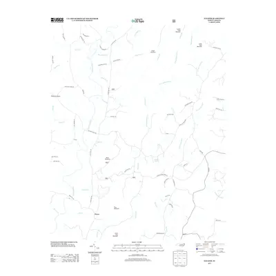
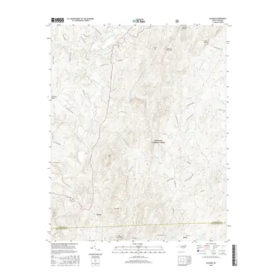
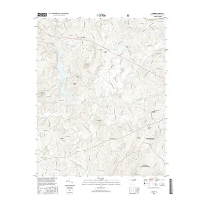
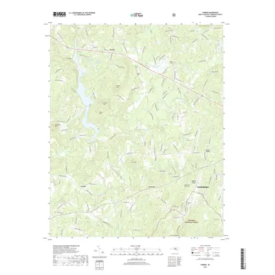
1974 Farmer
Randolph County, NC
1974 Grays Chapel
Randolph County, NC
1994 Eleazer
Randolph County, NC
1994 Erect
Randolph County, NC
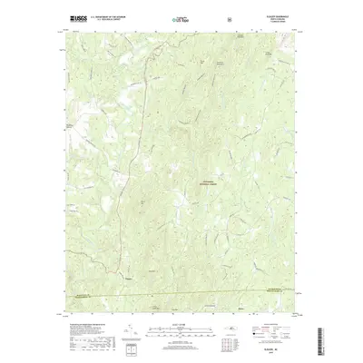
1994 Farmer
Randolph County, NC
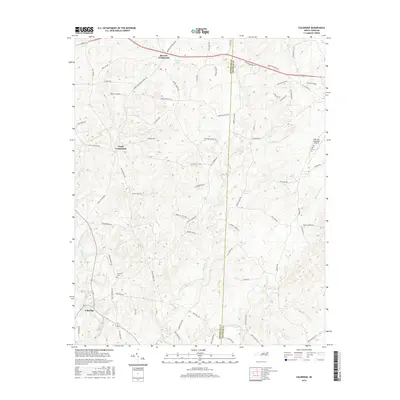
2010 Coleridge
Randolph County, NC
2010 Glenola
Randolph County, NC
2010 Grays Chapel
Randolph County, NC
2011 Eleazer
Randolph County, NC
2011 Erect
Randolph County, NC
2011 Farmer
Randolph County, NC
2013 Coleridge
Randolph County, NC
2013 Eleazer
Randolph County, NC
2013 Erect
Randolph County, NC
2013 Farmer
Randolph County, NC
2013 Glenola
Randolph County, NC
2013 Grays Chapel
Randolph County, NC
2016 Coleridge
Randolph County, NC
2016 Eleazer
Randolph County, NC
2016 Erect
Randolph County, NC
2016 Farmer
Randolph County, NC
2016 Glenola
Randolph County, NC
2016 Grays Chapel
Randolph County, NC
2019 Coleridge
Randolph County, NC
2019 Eleazer
Randolph County, NC
2019 Erect
Randolph County, NC
2019 Farmer
Randolph County, NC
2019 Glenola
Randolph County, NC
2019 Grays Chapel
Randolph County, NC
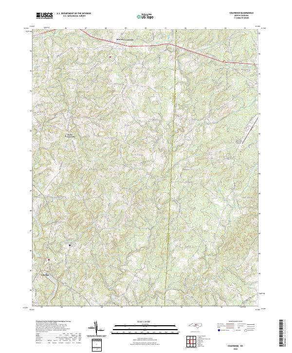
2022 Coleridge
Randolph County, NC
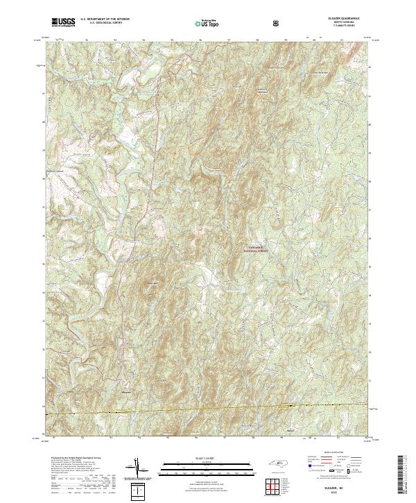
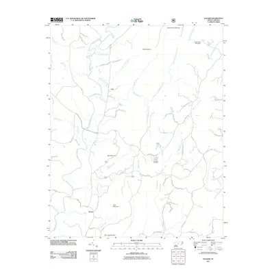
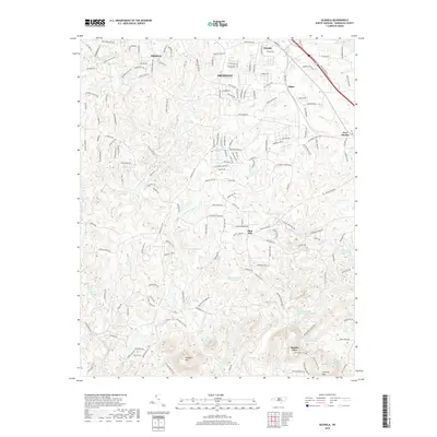
2022 Eleazer
Randolph County, NC
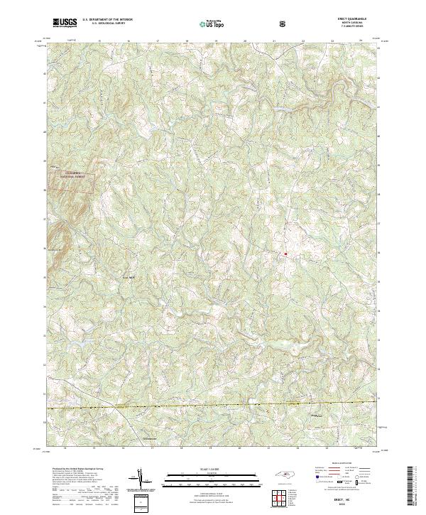
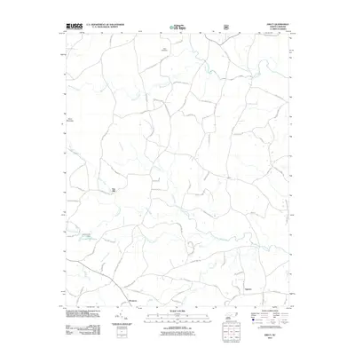
2022 Erect
Randolph County, NC
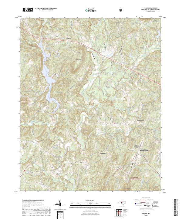
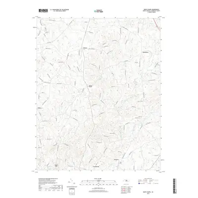
2022 Farmer
Randolph County, NC
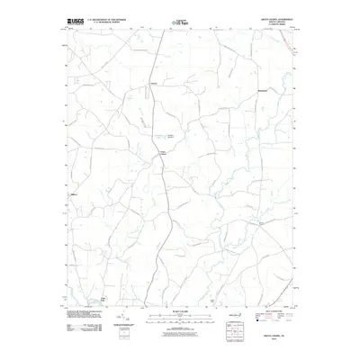
2022 Glenola
Randolph County, NC
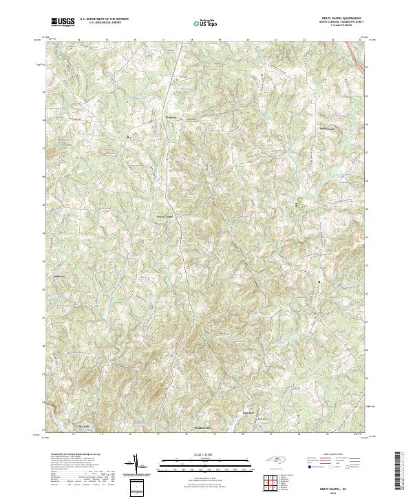
2022 Grays Chapel
Randolph County, NC