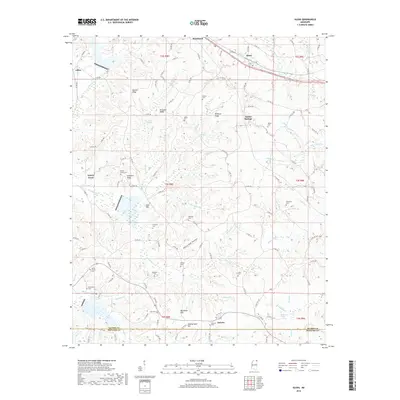
2018 Map of Glens
USGS Topo · Published 2018About this map
Jacinto stands as a focal point in the southern reaches of this landscape, situated just across the line from Alcorn and Prentiss counties. The area is defined by a series of prominent ridges, including Bennett Ridge, Browder Ridge, and Winbush Ridge, which dictate the flow of numerous small waterways like Yellow Jacket Cr and Hurricane Cr. This 2018 survey reveals a rural territory where family-named landmarks and cemeteries provide significant genealogical depth, notably around Searcy Town and Indian Springs. The map documents a quiet, wooded terrain where many burials, such as the Kemp Chapel Cem, Johns Cem, and Hardwick Cem, are tucked away from the main thoroughfares. A small stretch of the Railroad Br in the northwest corner near Jobes reflects the transportation infrastructure supporting this upland Mississippi region.
Find a feature on this map
132 named features on this map. Tap any name to fly to it.
Don’t see what you’re looking for? This feature index may not catch every label — zoom into the map to look around manually.
Map Details
Editions of this 2018 Glens Map
This is the sole edition of this map. No revisions or reprints were ever made.
Other maps of this area
1921 · Booneville
USGS Topo · 1:48,000
1922 · Booneville
USGS Topo · 1:62,500
1935 · Holcut
USGS Topo · 1:24,000
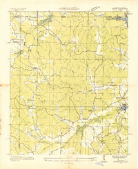
1935 · Doskie
USGS Topo · 1:24,000
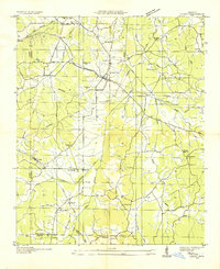
1935 · Leedy
USGS Topo · 1:24,000
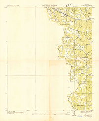
1935 · Glens
USGS Topo · 1:24,000
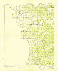
1936 · Kendrick
USGS Topo · 1:24,000
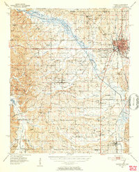
1950 · Corinth
USGS Topo · 1:62,500
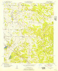
1950 · Kendrick
USGS Topo · 1:24,000
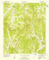
1950 · Paden
USGS Topo · 1:24,000