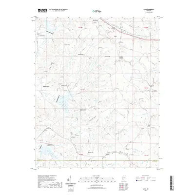
2021 Map of Glens
USGS Topo · Published 2021About this map
Jacinto, located at the southern edge of Alcorn County, serves as a significant historical anchor on this map, once the seat of Old Tishomingo County. The landscape is defined by its numerous family-named ridges and hollows, such as Bennett Ridge and White Oak Hollow, which separate the headwaters of the regional creek systems. A dense network of rural cemeteries and churches, including Boshers Graveyard and Antioch Primitive Baptist Church Cem, underscores the deep genealogical roots of the area. Transportation is marked by a transition from older settlement hubs like Searcy Town and Strickland to the rail corridor near Glens. The topography is intricate, with Hurricane Creek and Taylor Creek cutting through the center of the sheet, revealing the small-scale farming and timber-oriented settlement patterns common to this part of the Mississippi hills.
Find a feature on this map
168 named features on this map. Tap any name to fly to it.
Don’t see what you’re looking for? This feature index may not catch every label — zoom into the map to look around manually.
Map Details
Editions of this 2021 Glens Map
This is the sole edition of this map. No revisions or reprints were ever made.
Other maps of this area

1921 · Booneville
USGS Topo · 1:48,000

1922 · Booneville
USGS Topo · 1:62,500

1935 · Holcut
USGS Topo · 1:24,000

1935 · Doskie
USGS Topo · 1:24,000

1935 · Leedy
USGS Topo · 1:24,000

1935 · Glens
USGS Topo · 1:24,000

1936 · Kendrick
USGS Topo · 1:24,000

1950 · Corinth
USGS Topo · 1:62,500

1950 · Kendrick
USGS Topo · 1:24,000

1950 · Paden
USGS Topo · 1:24,000