
1942 Map of Glenwood
USGS Topo · Published 1942About this map
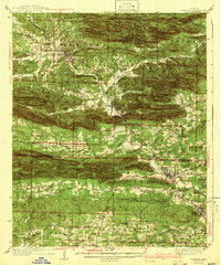
Glenwood serves as the primary hub in this 1930s survey of the Arkansas timber and mountain country, situated where the Caddo River exits the Ouachita foothills. The landscape is defined by the heavy ridges of the Crystal Mountains, Mazarn Ridge, and the Cossatot Mountains, which hem in narrow valleys supporting small settlements like Black Springs and Caddo Gap. The Missouri Pacific railroad follows the river's winding course, providing a vital link for the local economy and the logging operations that once dominated these slopes.
Find a feature on this map
104 named features on this map. Tap any name to fly to it.
Don’t see what you’re looking for? This feature index may not catch every label — zoom into the map to look around manually.
Map Details
Editions of this 1942 Glenwood Map
4 editions found
Other maps of this area

1890 · Mount Ida
USGS Topo · 1:125,000

1890 · Hot Springs
USGS Topo · 1:125,000

1894 · Hot Springs
USGS Topo · 1:125,000

1906 · Caddo Gap
USGS Topo · 1:125,000

1936 · Athens
USGS Topo · 1:48,000

1936 · Glenwood
USGS Topo · 1:48,000

1942 · Athens
USGS Topo · 1:62,500

1943 · Antoine
USGS Topo · 1:62,500

1949 · Glenwood
USGS Topo · 1:62,500

1955 · Little Rock
USGS Topo · 1:250,000