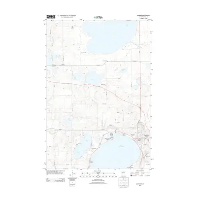
2013 Map of Glenwood
USGS Topo · Published 2013About this map
The eastern shores of Lake Minnewaska anchor this 2013 survey, showing the developed waterfront of Glenwood and Long Beach. This glacial landscape is defined by a high density of water bodies, where the sprawling Lake Reno and Pelican Lake dominate the northern and central reaches. The spatial arrangement of the Pope County Fairgrounds and the localized residential pockets at Woodland Point and Bonanza Valley suggest a community closely tied to its lakeside topography and recreational geography.
Find a feature on this map
73 named features on this map. Tap any name to fly to it.
Don’t see what you’re looking for? This feature index may not catch every label — zoom into the map to look around manually.
Map Details
Editions of this 2013 Glenwood Map
This is the sole edition of this map. No revisions or reprints were ever made.
Other maps of this area

1953 · Saint Cloud
USGS Topo · 1:250,000
1957 · Saint Cloud
USGS Topo · 1:250,000
1958 · Saint Cloud
USGS Topo · 1:250,000
1966 · Farwell
USGS Topo · 1:24,000
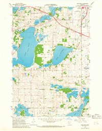
1966 · Lake Mary
USGS Topo · 1:24,000
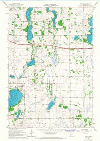
1966 · Forada
USGS Topo · 1:24,000
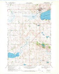
1968 · Starbuck
USGS Topo · 1:24,000
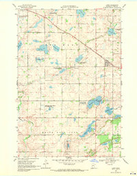
1968 · Lowry
USGS Topo · 1:24,000
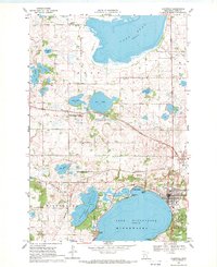
1968 · Glenwood
USGS Topo · 1:24,000
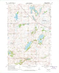
1968 · Terrace
USGS Topo · 1:24,000