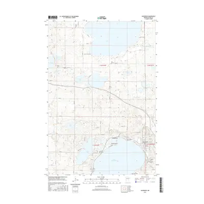
2016 Map of Glenwood
USGS Topo · Published 2016About this map
Lake Minnewaska and the surrounding prairie-lake country of Pope County define this landscape, where the settlements of Glenwood and Long Beach occupy the northeastern shoreline. The survey reveals a region densely populated with small lakes and local cemeteries, including the Swedish Mission Cem and Oak Hill Cem to the northwest. A significant cultural landmark, the Chief White Bear Grave, is situated on the northern shore of Lake Minnewaska near Woodland Point.
Find a feature on this map
124 named features on this map. Tap any name to fly to it.
Don’t see what you’re looking for? This feature index may not catch every label — zoom into the map to look around manually.
Map Details
Editions of this 2016 Glenwood Map
This is the sole edition of this map. No revisions or reprints were ever made.
Other maps of this area

1953 · Saint Cloud
USGS Topo · 1:250,000

1957 · Saint Cloud
USGS Topo · 1:250,000

1958 · Saint Cloud
USGS Topo · 1:250,000

1966 · Farwell
USGS Topo · 1:24,000

1966 · Lake Mary
USGS Topo · 1:24,000

1966 · Forada
USGS Topo · 1:24,000

1968 · Starbuck
USGS Topo · 1:24,000

1968 · Lowry
USGS Topo · 1:24,000

1968 · Glenwood
USGS Topo · 1:24,000

1968 · Terrace
USGS Topo · 1:24,000