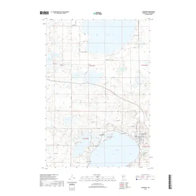
2019 Map of Glenwood
USGS Topo · Published 2019About this map
Lake Minnewaska and Pelican Lake dominate this Pope County landscape, anchoring a region defined by its dense network of glacial lakes and lakeside communities. In the southern portion of the map, the city of Glenwood serves as a primary hub, flanked by the residential developments of Long Beach and Bonanza Valley along the northeastern shore of the lake. The terrain is marked by intricate water systems, including Trappers Run and various judicial ditches that connect smaller bodies of water like Lair Lake and John Lake.
Find a feature on this map
76 named features on this map. Tap any name to fly to it.
Don’t see what you’re looking for? This feature index may not catch every label — zoom into the map to look around manually.
Map Details
Editions of this 2019 Glenwood Map
This is the sole edition of this map. No revisions or reprints were ever made.
Other maps of this area

1953 · Saint Cloud
USGS Topo · 1:250,000
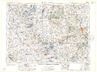
1957 · Saint Cloud
USGS Topo · 1:250,000
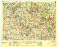
1958 · Saint Cloud
USGS Topo · 1:250,000
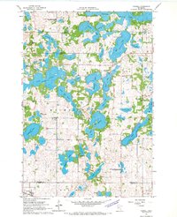
1966 · Farwell
USGS Topo · 1:24,000
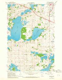
1966 · Lake Mary
USGS Topo · 1:24,000
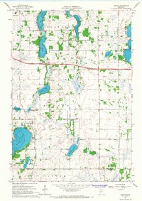
1966 · Forada
USGS Topo · 1:24,000
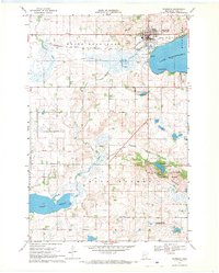
1968 · Starbuck
USGS Topo · 1:24,000
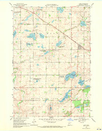
1968 · Lowry
USGS Topo · 1:24,000
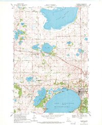
1968 · Glenwood
USGS Topo · 1:24,000
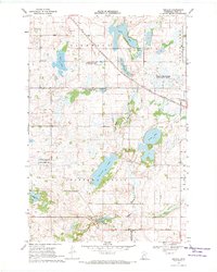
1968 · Terrace
USGS Topo · 1:24,000