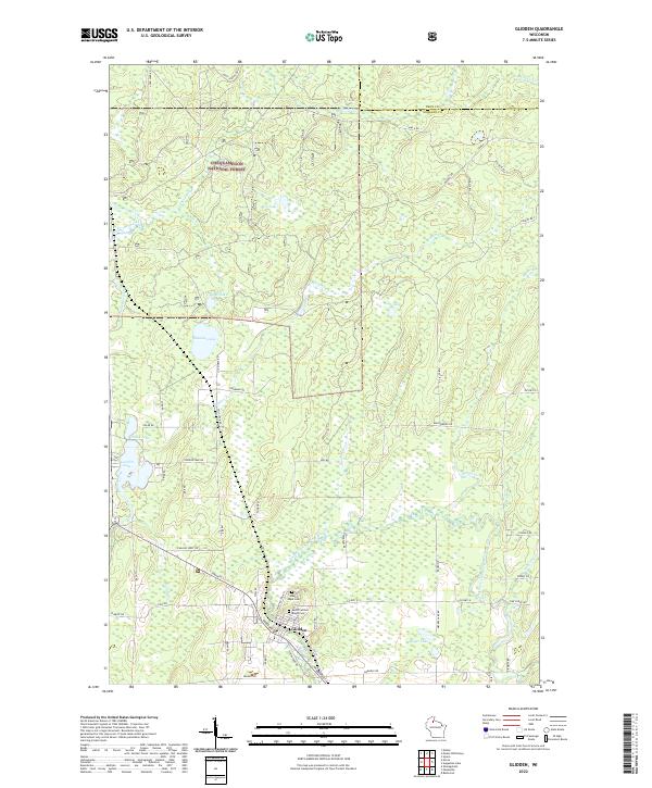
2022 Map of Glidden
USGS Topo · Published 2022About this map
Glidden serves as the primary center of activity in this corner of Ashland County, situated just north of where Sinkhole Rd and Blemel Rd traverse the landscape. This settlement is a point of departure for the sprawling woodlands of the Chequamegon National Forest, which dominates the northern and central portions of the map. For genealogists, the proximity of Mount Hope Cem and Most Precious Blood Cem near the town center offers a focal point for family history research.
Find a feature on this map
57 named features on this map. Tap any name to fly to it.
Don’t see what you’re looking for? This feature index may not catch every label — zoom into the map to look around manually.
Map Details
Editions of this 2022 Glidden Map
This is the sole edition of this map. No revisions or reprints were ever made.
Other maps of this area

1940 · Butternut
USGS Topo · 1:48,000

1940 · Upson
USGS Topo · 1:48,000

1942 · Glidden
USGS Topo · 1:48,000

1942 · Mellen
USGS Topo · 1:48,000

1943 · Upson
USGS Topo · 1:48,000

1945 · Glidden
USGS Topo · 1:48,000

1945 · Mellen
USGS Topo · 1:48,000

1947 · Butternut
USGS Topo · 1:48,000

1950 · Butternut
USGS Topo · 1:48,000

1953 · Ashland
USGS Topo · 1:250,000