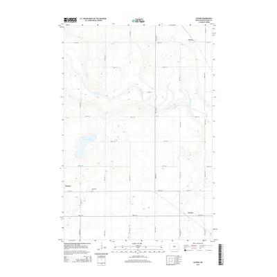
2014 Map of Glover
USGS Topo · Published 2014About this map
The James River snakes across this Dickey County landscape, carving a meandering path through the prairie terrain near the small settlements of Glover and Clement. The topography is defined by the gradual drainage into the river valley, with the broad Stevens Slough appearing as a significant water feature to the west. This 2014 survey documents the enduring agricultural grid of the region, where a network of section roads like 87th St SE and 106th Ave SE connects isolated homesteads and community landmarks. Genealogists may find particular interest in the Norwegian Cem, situated south of the James River bend, which serves as a quiet marker of the Nordic heritage that shaped the rural townships of Norway and its neighbors during the early settlement era.
Find a feature on this map
21 named features on this map. Tap any name to fly to it.
Don’t see what you’re looking for? This feature index may not catch every label — zoom into the map to look around manually.
Map Details
Editions of this 2014 Glover Map
This is the sole edition of this map. No revisions or reprints were ever made.
Other maps of this area
1894 · La Moure
USGS Topo · 1:62,500
1894 · Fullerton
USGS Topo · 1:62,500
1894 · Oakes
USGS Topo · 1:62,500
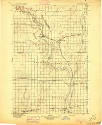
1895 · Lamoure
USGS Topo · 1:125,000
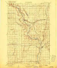
1918 · La Moure
USGS Topo · 1:125,000
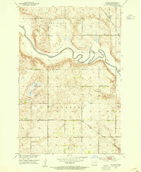
1952 · Glover
USGS Topo · 1:24,000
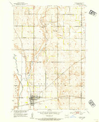
1952 · Oakes
USGS Topo · 1:24,000
1952 · Independence
USGS Topo · 1:24,000

1953 · Jamestown
USGS Topo · 1:250,000
1955 · Oakes SE
USGS Topo · 1:24,000