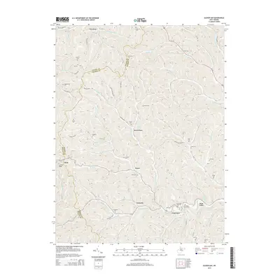
2014 Map of Glover Gap
USGS Topo · Published 2014About this map
Logansport and the surrounding hollows of Marion County are characterized by a dense network of family cemeteries and small rural settlements situated along winding creek valleys. The landscape is defined by its drainage patterns, where Buffalo Creek and Pyles Fork carve through the terrain, creating the distinct ridges like Lowman Ridge. This 2014 survey reveals a land heavily marked by legacy names, with numerous burial sites such as the Mannington Memorial Cem, Snodgrass Cem, and Atha Cem serving as permanent anchors for local genealogy.
Find a feature on this map
98 named features on this map. Tap any name to fly to it.
Don’t see what you’re looking for? This feature index may not catch every label — zoom into the map to look around manually.
Map Details
Editions of this 2014 Glover Gap Map
This is the sole edition of this map. No revisions or reprints were ever made.
Other maps of this area

1902 · Clarksburg
USGS Topo · 1:62,500

1903 · Littleton
USGS Topo · 1:62,500

1905 · Mannington
USGS Topo · 1:62,500

1905 · Centerpoint
USGS Topo · 1:62,500

1905 · Littleton
USGS Topo · 1:62,500

1910 · Clarksburg
USGS Topo · 1:62,500

1923 · Mannington
USGS Topo · 1:62,500

1923 · Clarksburg
USGS Topo · 1:62,500

1924 · Centerpoint
USGS Topo · 1:62,500

1924 · Littleton
USGS Topo · 1:62,500