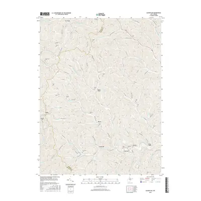
2016 Map of Glover Gap
USGS Topo · Published 2016About this map
The hills of Marion and Wetzel Counties are defined by a dense network of family cemeteries and small rural settlements in this 2016 record. Logansport and Curtisville sit at the southern end of the sheet near Buffalo Creek, while Glover Gap and Earnshaw occupy the northern reaches. The landscape is deeply carved by watercourses like State Road Fork, Owen Davy Fork, and Wiley Fork of Long Drain, which dictate the winding paths of county roads through the hollows. Genealogists will find a wealth of specific data, as the map preserves the locations of over twenty distinct burial grounds including Mannington Memorial Cem, Snodgrass Cem, and the Furbee Cem. The intricate terrain is further detailed by established trails such as Ridge Trail and Henderson Trail, reflecting the enduring rural character of this West Virginia panhandle border region.
Find a feature on this map
111 named features on this map. Tap any name to fly to it.
Don’t see what you’re looking for? This feature index may not catch every label — zoom into the map to look around manually.
Map Details
Editions of this 2016 Glover Gap Map
This is the sole edition of this map. No revisions or reprints were ever made.
Other maps of this area
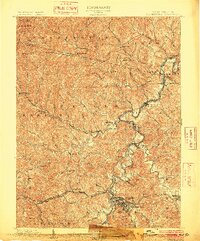
1902 · Clarksburg
USGS Topo · 1:62,500
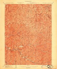
1903 · Littleton
USGS Topo · 1:62,500
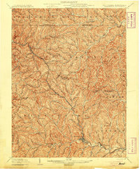
1905 · Mannington
USGS Topo · 1:62,500
1905 · Centerpoint
USGS Topo · 1:62,500
1905 · Littleton
USGS Topo · 1:62,500
1910 · Clarksburg
USGS Topo · 1:62,500
1923 · Mannington
USGS Topo · 1:62,500
1923 · Clarksburg
USGS Topo · 1:62,500
1924 · Centerpoint
USGS Topo · 1:62,500
1924 · Littleton
USGS Topo · 1:62,500