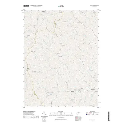
2019 Map of Glover Gap
USGS Topo · Published 2019About this map
Curtisville and Logansport serve as central points in this landscape defined by the winding drainages of Marion County and Wetzel County. The terrain is deeply carved by watercourses such as the Warrior Fork, Bartholomew Fork, and Buffalo Creek, which dictate the placement of local roads and small settlements. For genealogists, the map is particularly significant for its dense concentration of family-named burial sites, including the Snodgrass Cem, Hayhurst Cem, and Carpenter Cem. These landmarks, along with established trails like the Ridge Trail and Henderson Trail Connector Trail, reveal the persistent rural settlement patterns that have shaped this portion of northern West Virginia. Notable springs like George Williams Spring and the presence of the WMA Access Trail network highlight the area's continued reliance on its natural water sources and forested corridors.
Find a feature on this map
111 named features on this map. Tap any name to fly to it.
Don’t see what you’re looking for? This feature index may not catch every label — zoom into the map to look around manually.
Map Details
Editions of this 2019 Glover Gap Map
This is the sole edition of this map. No revisions or reprints were ever made.
Other maps of this area

1902 · Clarksburg
USGS Topo · 1:62,500

1903 · Littleton
USGS Topo · 1:62,500

1905 · Mannington
USGS Topo · 1:62,500

1905 · Centerpoint
USGS Topo · 1:62,500

1905 · Littleton
USGS Topo · 1:62,500
1910 · Clarksburg
USGS Topo · 1:62,500
1923 · Mannington
USGS Topo · 1:62,500
1923 · Clarksburg
USGS Topo · 1:62,500
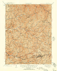
1924 · Centerpoint
USGS Topo · 1:62,500
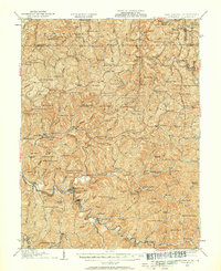
1924 · Littleton
USGS Topo · 1:62,500