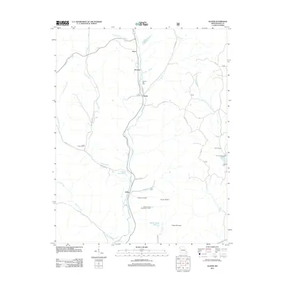
2011 Map of Glover
USGS Topo · Published 2011About this map
Big Creek flows through the heart of this Iron County landscape, anchoring a series of small settlements including Glover, Berryman, Chloride, and Sabula. The map details a rural corridor defined by water and topography, where landmarks like Blue Hole and Section House Hole suggest deep local familiarity with the river's path. Infrastructure and industry are represented by several engineered water features, such as Asarco Lake and the Number 809 Dam, while Grassy Mountain rises above the drainage of Kinney Branch.
Find a feature on this map
39 named features on this map. Tap any name to fly to it.
Don’t see what you’re looking for? This feature index may not catch every label — zoom into the map to look around manually.
Map Details
Editions of this 2011 Glover Map
This is the sole edition of this map. No revisions or reprints were ever made.
Other maps of this area

1924 · Edgehill
USGS Topo · 1:62,500

1926 · Edgehill
USGS Topo · 1:62,500

1926 · Des Arc
USGS Topo · 1:62,500

1929 · Des Arc
USGS Topo · 1:62,500

1937 · Ironton
USGS Topo · 1:48,000

1943 · Lesterville
USGS Topo · 1:62,500

1945 · Ironton
USGS Topo · 1:62,500

1946 · Lesterville
USGS Topo · 1:62,500

1946 · Ironton
USGS Topo · 1:62,500

1949 · Rolla
USGS Topo · 1:250,000