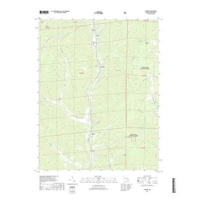
2017 Map of Glover
USGS Topo · Published 2017About this map
The Missouri Pacific RR cuts a north-south path through this portion of the Saint Francois Mountains, following the natural corridor carved by Big Cr. Small settlements such as Glover, Chloride, and Sabula dot the valley floor, each connected by a network of rural routes including Lower Carver Rd and Sabula Rd. The geography is defined by deep hollows like Reader Hollow and high points such as Vickery Mtn and Grassy Mtn.
Find a feature on this map
53 named features on this map. Tap any name to fly to it.
Don’t see what you’re looking for? This feature index may not catch every label — zoom into the map to look around manually.
Map Details
Editions of this 2017 Glover Map
This is the sole edition of this map. No revisions or reprints were ever made.
Other maps of this area
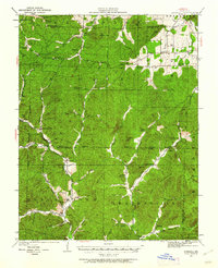
1924 · Edgehill
USGS Topo · 1:62,500
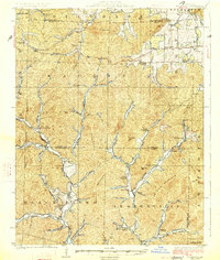
1926 · Edgehill
USGS Topo · 1:62,500
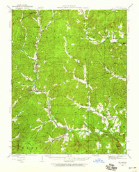
1926 · Des Arc
USGS Topo · 1:62,500
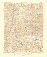
1929 · Des Arc
USGS Topo · 1:62,500
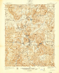
1937 · Ironton
USGS Topo · 1:48,000
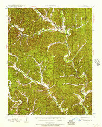
1943 · Lesterville
USGS Topo · 1:62,500
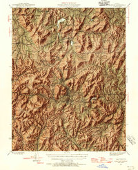
1945 · Ironton
USGS Topo · 1:62,500
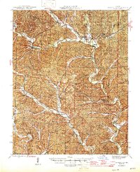
1946 · Lesterville
USGS Topo · 1:62,500
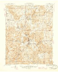
1946 · Ironton
USGS Topo · 1:62,500

1949 · Rolla
USGS Topo · 1:250,000