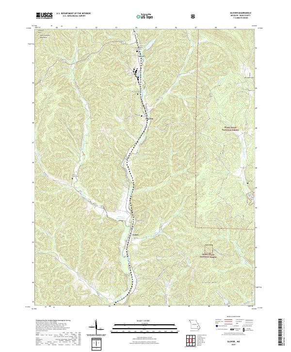
2021 Map of Glover
USGS Topo · Published 2021About this map
Big Creek winds through the heart of the Saint Francois Mountains in this modern topographical study, defining the valley where the settlements of Glover, Chloride, and Sabula are established. This corridor follows a historical transit route through the southern highlands of Missouri, where the landscape is marked by prominent peaks such as Vickery Mtn and Grassy Mtn. Much of the eastern and southern portions of the territory are protected within the Mark Twain National Forest, preserving the wooded creek bottoms and high ridges.
Find a feature on this map
45 named features on this map. Tap any name to fly to it.
Don’t see what you’re looking for? This feature index may not catch every label — zoom into the map to look around manually.
Map Details
Editions of this 2021 Glover Map
This is the sole edition of this map. No revisions or reprints were ever made.
Other maps of this area

1924 · Edgehill
USGS Topo · 1:62,500

1926 · Edgehill
USGS Topo · 1:62,500

1926 · Des Arc
USGS Topo · 1:62,500

1929 · Des Arc
USGS Topo · 1:62,500

1937 · Ironton
USGS Topo · 1:48,000

1943 · Lesterville
USGS Topo · 1:62,500

1945 · Ironton
USGS Topo · 1:62,500

1946 · Lesterville
USGS Topo · 1:62,500

1946 · Ironton
USGS Topo · 1:62,500

1949 · Rolla
USGS Topo · 1:250,000