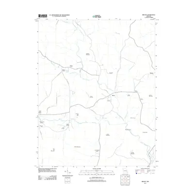
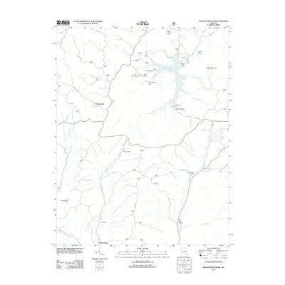
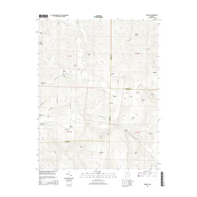
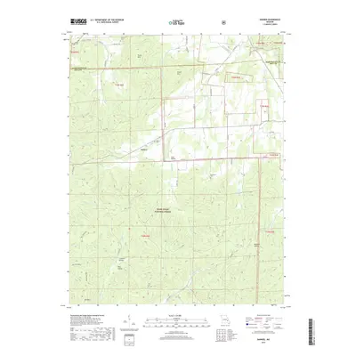
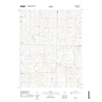
2000 Map of Glover
USGS Topo · Published 2003About this map
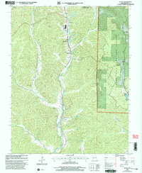
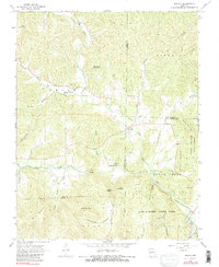
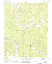
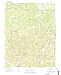
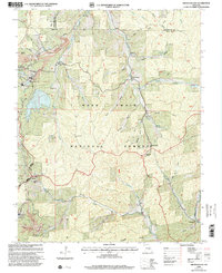
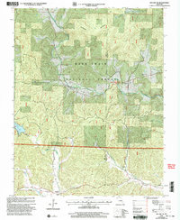
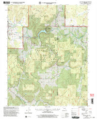
Big Creek flows through the heart of this Iron County landscape, carving a valley followed by the Missouri Pacific RR and a string of small settlements. The area’s industrial character is anchored by a Lead Smelter north of Chloride, while the eastern portion is dominated by the protected terrain of the Mark Twain National Forest. Local history is preserved in small landmarks like Emmaus Chapel and its associated Emmaus Chapel Cem, along with other family-named burial grounds like Huff Cem and Hurst Cem. This 2000 revision shows the intersection of industry and recreation, where the Ozark Trail winds over the heights of Grassy Mountain near the public access point at the Crane Lake Boat Ramp. The map captures a moment when traditional rail-side communities like Glover and Sabula remained distinct markers in the Ozark highlands.
Find a feature on this map
22 named features on this map. Tap any name to fly to it.
Don’t see what you’re looking for? This feature index may not catch every label — zoom into the map to look around manually.
Map Details
Editions of this 2000 Glover Map
This is the sole edition of this map. No revisions or reprints were ever made.
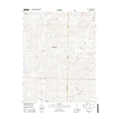
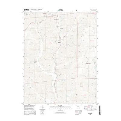
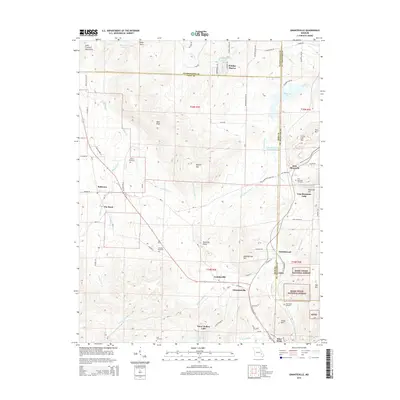
Historical Maps of Sabula Through Time
48 maps found

1924 Edgehill
Iron County, MO
1926 Edgehill
Iron County, MO
1967 Viburnum East
Iron County, MO
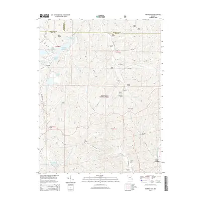
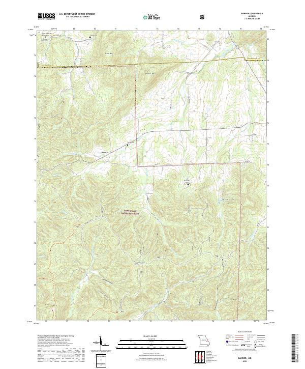
1968 Banner
Iron County, MO
1968 Brunot
Iron County, MO
1968 Des Arc NE
Iron County, MO
1968 Glover
Iron County, MO
1968 Graniteville
Iron County, MO
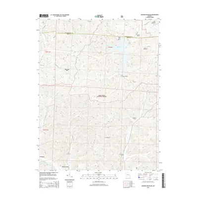
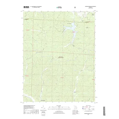
1968 Johnson Mountain
Iron County, MO
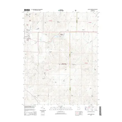
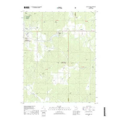
1968 Lake Killarney
Iron County, MO
1999 Banner
Iron County, MO
1999 Johnson Mountain
Iron County, MO
1999 Viburnum East
Iron County, MO
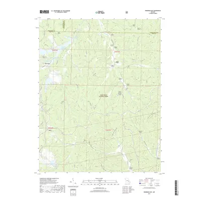
2000 Des Arc NE
Iron County, MO
2000 Glover
Iron County, MO
2000 Lake Killarney
Iron County, MO
2011 Banner
Iron County, MO
2011 Brunot
Iron County, MO
2011 Des Arc NE
Iron County, MO
2011 Glover
Iron County, MO
2011 Graniteville
Iron County, MO
2011 Johnson Mountain
Iron County, MO
2011 Lake Killarney
Iron County, MO
2011 Viburnum East
Iron County, MO
2015 Banner
Iron County, MO
2015 Brunot
Iron County, MO
2015 Des Arc NE
Iron County, MO
2015 Glover
Iron County, MO
2015 Graniteville
Iron County, MO
2015 Johnson Mountain
Iron County, MO
2015 Lake Killarney
Iron County, MO
2015 Viburnum East
Iron County, MO
2017 Banner
Iron County, MO
2017 Brunot
Iron County, MO
2017 Des Arc NE
Iron County, MO
2017 Glover
Iron County, MO
2017 Graniteville
Iron County, MO
2017 Johnson Mountain
Iron County, MO
2017 Lake Killarney
Iron County, MO
2017 Viburnum East
Iron County, MO
2021 Banner
Iron County, MO
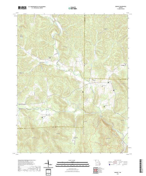
2021 Brunot
Iron County, MO
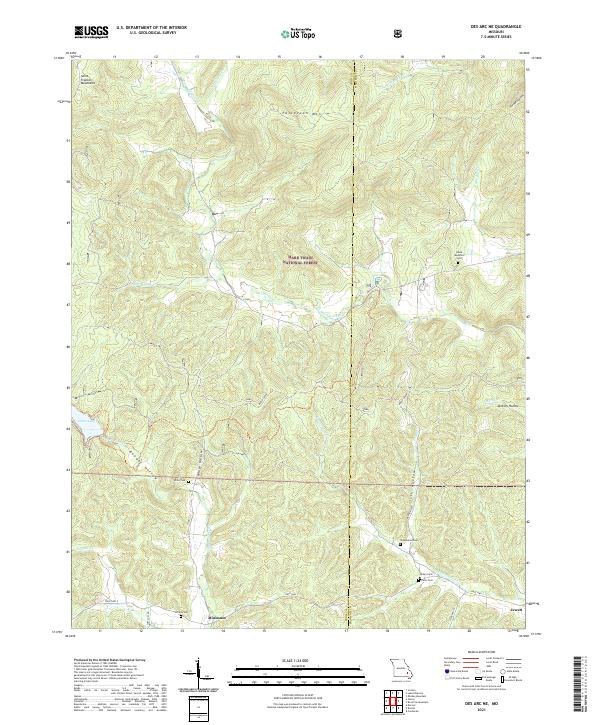
2021 Des Arc NE
Iron County, MO
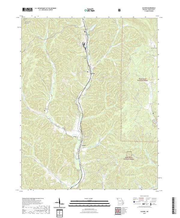
2021 Glover
Iron County, MO
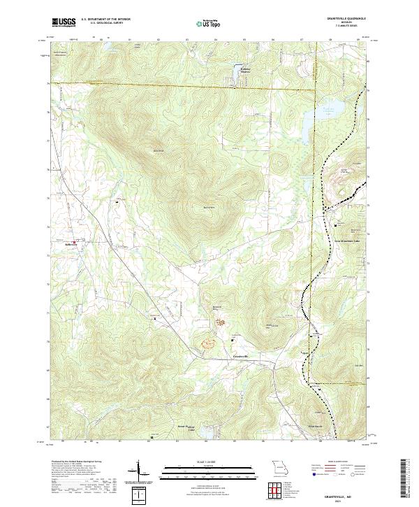
2021 Graniteville
Iron County, MO
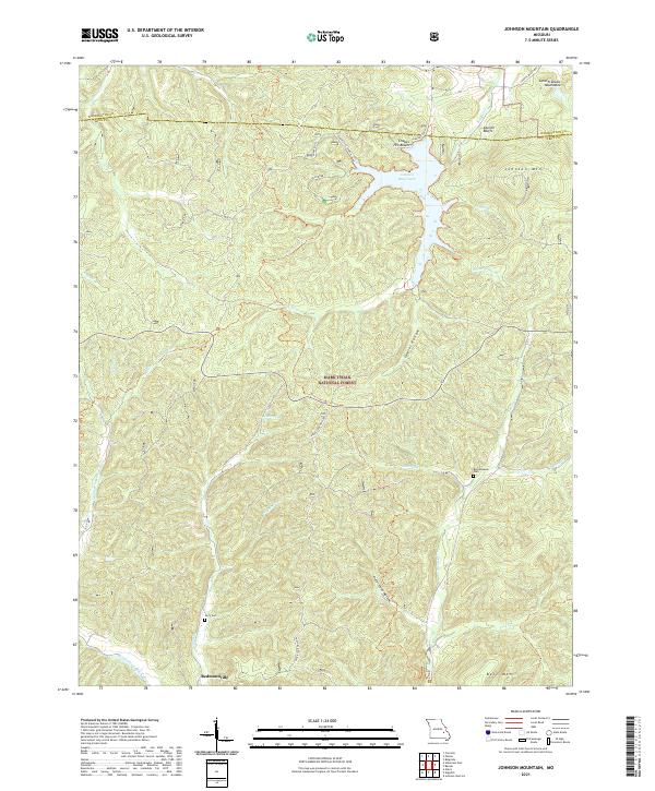
2021 Johnson Mountain
Iron County, MO
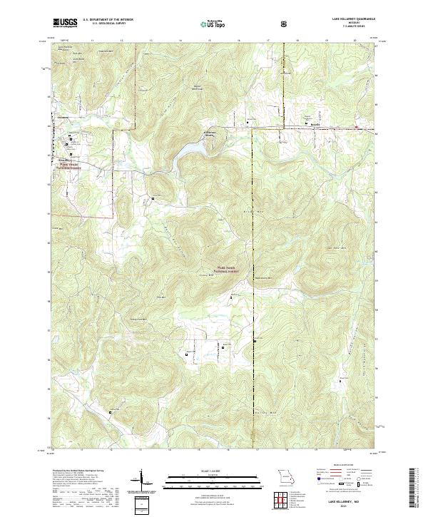
2021 Lake Killarney
Iron County, MO
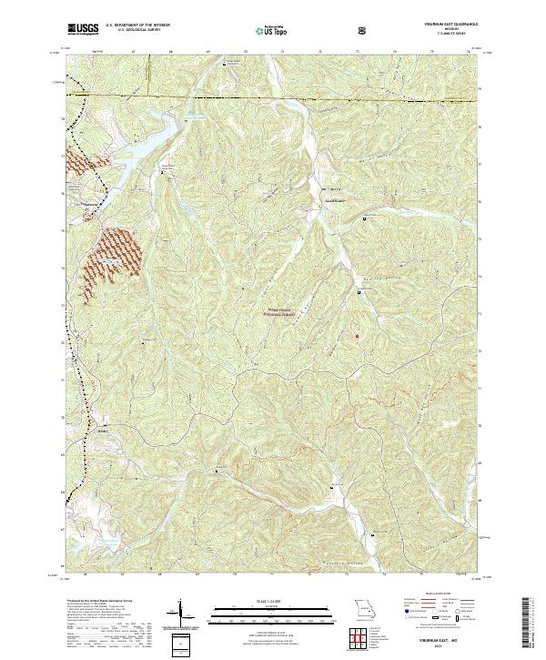
2021 Viburnum East
Iron County, MO