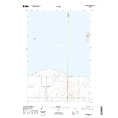
2019 Map of Glovers Corner
USGS Topo · Published 2019About this map
Lake Superior shoreline and the rugged transition into the Upper Peninsula backcountry dominate this 2019 survey of the Michigan coast. The terrain is defined by significant elevations such as Bald Mtn, which rises above the surrounding forest between the Huron River and the Little Huron River. Off the coast, hazards to navigation are clearly marked, including the Point Abbaye Reef and the small, isolated Lighthouse Island.
Find a feature on this map
17 named features on this map. Tap any name to fly to it.
Don’t see what you’re looking for? This feature index may not catch every label — zoom into the map to look around manually.
Map Details
Editions of this 2019 Glovers Corner Map
This is the sole edition of this map. No revisions or reprints were ever made.
Other maps of this area

1954 · Huron Mountain
USGS Topo · 1:62,500

1954 · Skanee
USGS Topo · 1:62,500

1958 · Hancock
USGS Topo · 1:250,000

1958 · Marquette
USGS Topo · 1:250,000

1958 · Iron River
USGS Topo · 1:250,000

1960 · Iron River
USGS Topo · 1:250,000

1960 · Hancock
USGS Topo · 1:250,000

1960 · Marquette
USGS Topo · 1:250,000

1961 · Marquette
USGS Topo · 1:250,000

1961 · Iron River
USGS Topo · 1:250,000