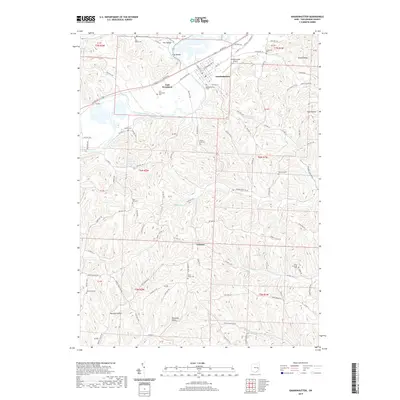
2019 Map of Gnadenhutten
USGS Topo · Published 2019About this map
The Tuscarawas River valley defines the character of this region, serving as the primary corridor for infrastructure like US Rte 36 and the settlement of Gnadenhutten. The map reveals a landscape deeply carved by drainage systems, including Frys Cr and Watson Cr, creating a series of named landforms such as Fox Valley, Dutch Valley, and Murphy Hollow. Genealogists will find a high density of burial sites across these hills, from the Gnadenhutten Cem near the river to more remote locations like Kennedy Cem and Hartwood Cem. In the village of Lock Seventeen, the name itself preserves the history of the Ohio and Erie Canal's path along the riverbanks, even as the landscape has transitioned to support modern needs like the Gnadenhutten Airport. Small rural centers like Gilmore and localized recreation at Lake Greenbriar complete the picture of this Tuscarawas County landscape.
Find a feature on this map
107 named features on this map. Tap any name to fly to it.
Don’t see what you’re looking for? This feature index may not catch every label — zoom into the map to look around manually.
Map Details
Editions of this 2019 Gnadenhutten Map
This is the sole edition of this map. No revisions or reprints were ever made.
Other maps of this area

1909 · Antrim
USGS Topo · 1:48,000

1909 · Uhrichsville
USGS Topo · 1:62,500

1909 · Cambridge
USGS Topo · 1:62,500

1911 · Antrim
USGS Topo · 1:62,500

1911 · Uhrichsville
USGS Topo · 1:62,500

1911 · Newcomerstown
USGS Topo · 1:62,500

1912 · Cambridge
USGS Topo · 1:62,500

1913 · Newcomerstown
USGS Topo · 1:62,500

1943 · Newcomerstown
USGS Topo · 1:62,500

1951 · Canton
USGS Topo · 1:250,000