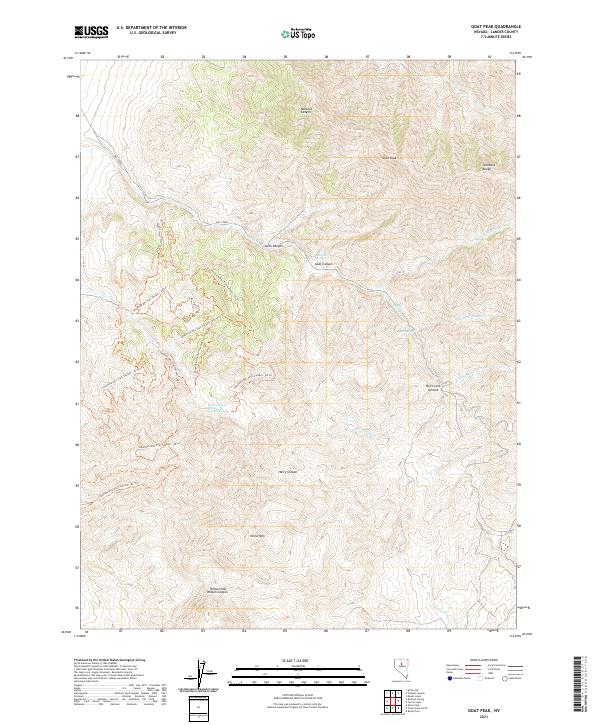
2021 Map of Goat Peak
USGS Topo · Published 2021About this map
Goat Peak stands as a prominent high point in this 2021 survey of the Shoshone Range in Lander County. The landscape is defined by a series of steep drainages, including Hancock Canyon, Jacks Canyon, and Goat Canyon, which feed into the complex watershed of Mill Cr. This modern topographic study reveals a high-elevation environment where water is a critical resource, marked by specific points like Roadside Spring, South Spring, and the uniquely named Harry Canyon Spring Number Two.
Find a feature on this map
33 named features on this map. Tap any name to fly to it.
Don’t see what you’re looking for? This feature index may not catch every label — zoom into the map to look around manually.
Map Details
Editions of this 2021 Goat Peak Map
This is the sole edition of this map. No revisions or reprints were ever made.
Other maps of this area

1932 · Sonoma Range
USGS Topo · 1:250,000

1939 · Sonoma Range
USGS Topo · 1:250,000

1949 · Mt. Lewis
USGS Topo · 1:62,500

1950 · Mt. Lewis
USGS Topo · 1:62,500

1955 · Winnemucca
USGS Topo · 1:250,000

1958 · Winnemucca
USGS Topo · 1:250,000

1961 · McCoy
USGS Topo · 1:62,500

1961 · The Cedars
USGS Topo · 1:62,500

1962 · Winnemucca
USGS Topo · 1:250,000

1962 · Carico Lake
USGS Topo · 1:62,500