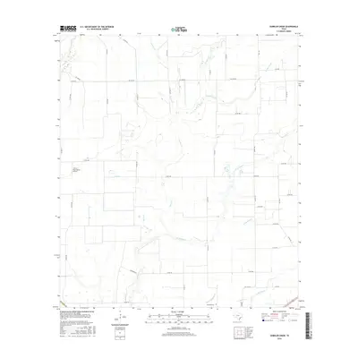
2016 Map of Gobbler Creek
USGS Topo · Published 2016About this map
Procopius Cem sits at the southern edge of this Wharton County landscape, an area defined by the intricate dendritic drainage systems of the Texas coastal plain. The map documents a predominantly agricultural and ranching environment during the mid-2010s, where seasonal waterways like Chaco Slough and Mott Br cut through a grid of rural county roads. Transport and private infrastructure are notable, particularly the Norris Raun Ranch Airport, which serves the local ranching operations. The terrain is a web of named tributaries including Gobbler Creek, W Mustang Cr, and Lookout Cr. This survey illustrates the persistent rural character of the region, showing how property lines and road networks like FM 1300 RD have been shaped by the low-lying hydrology of the Mustang Creek watershed.
Find a feature on this map
42 named features on this map. Tap any name to fly to it.
Don’t see what you’re looking for? This feature index may not catch every label — zoom into the map to look around manually.
Map Details
Editions of this 2016 Gobbler Creek Map
This is the sole edition of this map. No revisions or reprints were ever made.
Other maps of this area

1953 · Seguin
USGS Topo · 1:250,000

1958 · Seguin
USGS Topo · 1:250,000

1960 · New Taiton
USGS Topo · 1:24,000

1963 · Ganado
USGS Topo · 1:24,000

1965 · El Campo
USGS Topo · 1:24,000

1965 · Ganado NE
USGS Topo · 1:24,000

1965 · Sheridan SE
USGS Topo · 1:24,000

1965 · Gobbler Creek
USGS Topo · 1:24,000
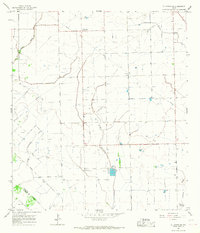
1965 · El Campo SE
USGS Topo · 1:24,000
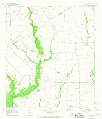
1965 · Hahn
USGS Topo · 1:24,000