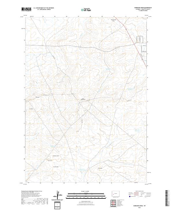
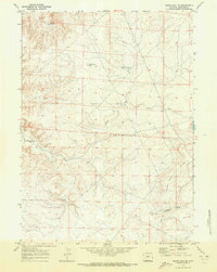
2021 Map of Gobblers Knob
USGS Topo · Published 2021About this map
Gobblers Knob and Iron Mtn anchor this high-desert landscape in Sublette County, where the topography is defined by the sharp escarpment of Blue Rim. The map documents a complex system of water management essential for livestock and land use in this arid environment, featuring numerous catchments like Cacklin Lou Reservoir, Desert Reservoir Number 5, and Middle Prong Reservoir. This network of reservoirs is connected by seasonal drainages such as North Alkali Draw and Sand Springs Draw. Modern access to the region is shown through a series of named local roads and Bureau of Land Management routes, including Larry Lozie Rd, Alan Sims Rd, and BLM Rd 5410, which thread through the open rangeland near The Rocks.
Find a feature on this map
30 named features on this map. Tap any name to fly to it.
Don’t see what you’re looking for? This feature index may not catch every label — zoom into the map to look around manually.
Map Details
Editions of this 2021 Gobblers Knob Map
This is the sole edition of this map. No revisions or reprints were ever made.
Other maps of this area

1955 · Lander
USGS Topo · 1:250,000

1958 · Lander
USGS Topo · 1:250,000

1961 · Lander
USGS Topo · 1:250,000

1964 · Fremont Butte
USGS Topo · 1:24,000

1964 · Two Buttes Reservoir
USGS Topo · 1:24,000
1964 · Square Top
USGS Topo · 1:24,000
1964 · Olsen Ranch
USGS Topo · 1:24,000

1964 · Boulder
USGS Topo · 1:24,000
1969 · Bull Draw
USGS Topo · 1:24,000
1969 · Sugar Loaf NE
USGS Topo · 1:24,000