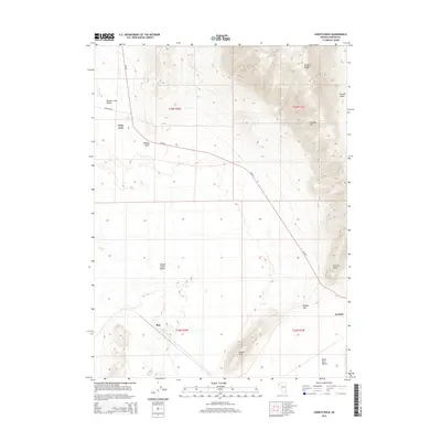
2014 Map of Godeys Rock
USGS Topo · Published 2014About this map
Deep Hole and Phil sit at the transition between the high peaks of the Granite Range and the expansive alkalai flats of the Great Basin. This landscape is defined by the stark contrast between the steep elevations of Granite Mtn and the low-lying reaches of the Smoke Creek Desert and Black Rock Desert. Water sources are critical landmarks in this arid environment, evidenced by Deep Hole Spring and Gerlach Spring, which likely served as vital stops for early travelers. The presence of Bloody Point suggests a geography shaped by historical passage and local lore. In the southeastern corner, the settlement of Gerlach marks a gateway to the desert floors, while landmarks like Godeys Rock and Godeys Gap provide essential navigation points for anyone traversing the corridor between Squaw Creek Valley and the open basins.
Find a feature on this map
23 named features on this map. Tap any name to fly to it.
Don’t see what you’re looking for? This feature index may not catch every label — zoom into the map to look around manually.
Map Details
Editions of this 2014 Godeys Rock Map
This is the sole edition of this map. No revisions or reprints were ever made.
Other maps of this area
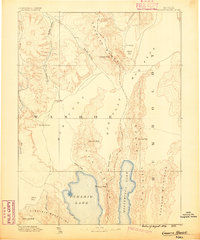
1886 · Granite Range
USGS Topo · 1:250,000
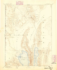
1894 · Granite Range
USGS Topo · 1:250,000
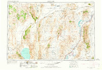
1955 · Lovelock
USGS Topo · 1:250,000
1959 · Lovelock
USGS Topo · 1:250,000
1964 · Gerlach
USGS Topo · 1:62,500
1980 · The Banjo
USGS Topo · 1:24,000
1980 · Wall Spring
USGS Topo · 1:24,000
1980 · Smith Canyon
USGS Topo · 1:24,000
1980 · Hualapai Flat South
USGS Topo · 1:24,000
1981 · Squaw Valley
USGS Topo · 1:24,000