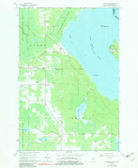
1964 Map of Goetzville
USGS Topo · Published 1982About this map
Lake Superior State Forest dominates the interior of this Eastern Upper Peninsula landscape, where the Gogomain River winds through vast wetlands toward Raber Bay. The area's mid-century character is defined by small, inland settlements like Goetzville and Raber, connected by an Old Railroad Grade that once served the region's timber or maritime interests. Along the international border in the Saint Marys River, Lime Island sits with noted Ruins, signaling the area's long-standing strategic and industrial importance along the shipping lanes between Lake Superior and Lake Huron.
Find a feature on this map
34 named features on this map. Tap any name to fly to it.
Don’t see what you’re looking for? This feature index may not catch every label — zoom into the map to look around manually.
Map Details
Editions of this 1964 Goetzville Map
2 editions found
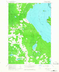
Other maps of this area

1953 · Munuscong
USGS Topo · 1:24,000

1953 · Munuscong NE
USGS Topo · 1:24,000

1954 · Alpena
USGS Topo · 1:250,000

1954 · Sault Sainte Marie
USGS Topo · 1:250,000

1955 · Cheboygan
USGS Topo · 1:250,000

1956 · Sault Sainte Marie
USGS Topo · 1:250,000

1957 · Alpena
USGS Topo · 1:250,000

1957 · Sault Sainte Marie
USGS Topo · 1:250,000

1958 · Cheboygan
USGS Topo · 1:250,000

1958 · Alpena
USGS Topo · 1:250,000