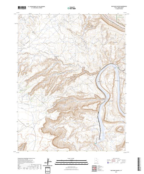
2023 Map of Gold Bar Canyon
USGS Topo · Published 2023About this map
The Colorado River carves a deep path through this section of Grand County, defining a landscape of dramatic vertical relief and natural formations. Along the river's winding course, low-lying areas such as Lake Bottom, Bliss Bottom, and Jackson Bottom sit in contrast to the massive sandstone features like The Billboard and the prominent bend at Amasa Back. This area is renowned for its natural spans, including the celebrated Gemini Bridges and the high Ottingers Triple Arch near the northern boundary of Arches National Park.
Find a feature on this map
41 named features on this map. Tap any name to fly to it.
Don’t see what you’re looking for? This feature index may not catch every label — zoom into the map to look around manually.
Map Details
Editions of this 2023 Gold Bar Canyon Map
This is the sole edition of this map. No revisions or reprints were ever made.
Other maps of this area

1885 · La Sal
USGS Topo · 1:250,000

1951 · The Knoll
USGS Topo · 1:62,500

1951 · Upheaval Dome
USGS Topo · 1:62,500

1952 · Moab 4 NW
USGS Topo · 1:24,000

1952 · Moab 3 NE
USGS Topo · 1:24,000

1952 · Moab 3 SE
USGS Topo · 1:24,000

1952 · Carlisle 2 NE
USGS Topo · 1:24,000

1952 · Moab 4 SW
USGS Topo · 1:24,000

1954 · Carlisle 1 NE
USGS Topo · 1:24,000

1954 · Carlisle 1 NW
USGS Topo · 1:24,000